This bush trip is meant to be played without GPS. I would recommend using LittleNavMap with google maps satellite layer. - https://www.avsim.com/forums/topic/548994-new-maps-for-lnm/
Just set “show aircraft position” and “show aircraft trail” to off.
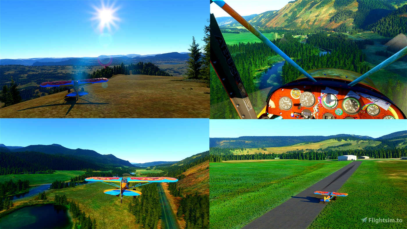
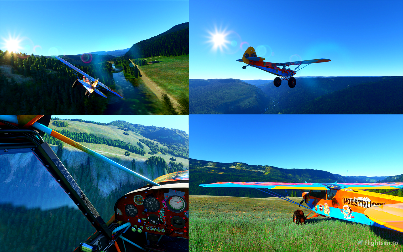
You’ll need a capable STOL machine for this one. I was flying Savage Grravel - https://flightsim.to/file/5061/savage-grravel-monster-truck-in-the-skies
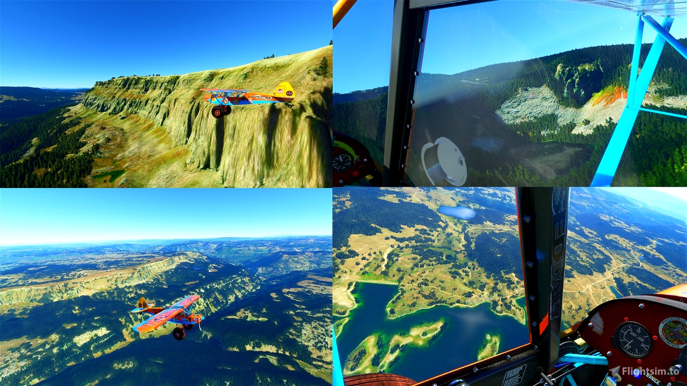
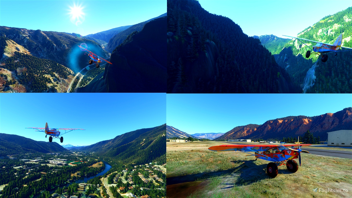
You should really plan ahead and always have a good look of the next landing area since some of them are very small and hard to find.
Or you can just use GPS and just enjoy the scenery. It’s a game anyway ;)
I was flying live weather but any preset that is not too windy should do. Just be careful cause
Whenever there are two waypoints close to each other there’s a place to land roughly on the line between those two points. I’ll describe each waypoint in a attached txt file.
Video included is from a deadstick challenge
Instalation: Just extract anywhere read the bush trip COLORADO.txt and open VFR Granby-Grand Co (KGNB) to Glenwood Springs Municipal Airport (KGWS) no GPS with LittleNavMAp

 drStation

