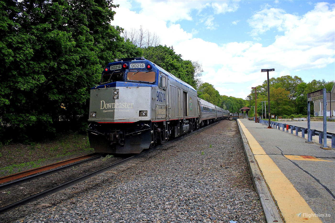
Following the route of the Amtrak Downeaster, which runs between Brunswick, Maine, and Boston, Massachusetts. It is 145 miles long in actuality; this version is almost exactly the same. Since this will likely be flown VFR by most people, I've only added waypoints where the track turns considerably.
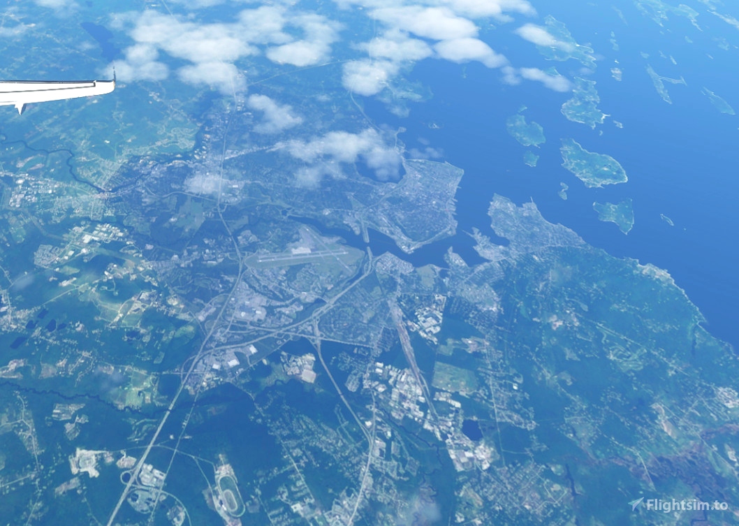
The halfway point is around Portsmouth, New Hampshire, so if you want to break up the flight over a couple of stints, there are a few airports in the vicinity at which to land.
To load the route, click "load/save" at the bottom of the World Map and navigate to the relevant folder. A gate/ramp has been set.
We depart from Brunswick Executive Airport (KBXM) and fly just over a mile to Brunwick Station. The other Amtrak stations flown over on the route south:
- Freeport, Maine
- Portland, Maine
- Old Orchard Beach, Maine
- Saco, Maine
- Wells, Maine
- Dover, New Hampshire
- Durham, University of New Hampshire
- Exeter, New Hampshire
- Haverhill, Massachusetts
- Woburn, Massachusetts
- Boston North Station
After passing over Boston North, we land at Logan International (KBOS), our destination.

 newtestleper


thanks fellow foamer! nice pic of the Cabbage NPCU lol
3 years ago
RailfanJamie61