This bush trip is meant to be played without GPS. I would recommend using LittleNavMap with google maps satellite layer. - https://www.avsim.com/forums/topic/548994-new-maps-for-lnm/
Just set “show aircraft position” and “show aircraft trail” to off.
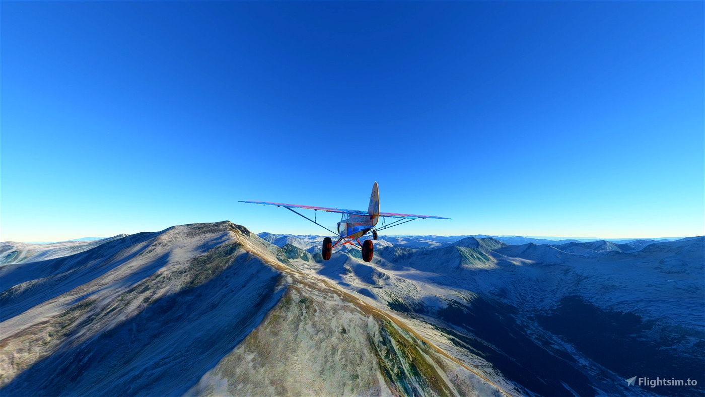
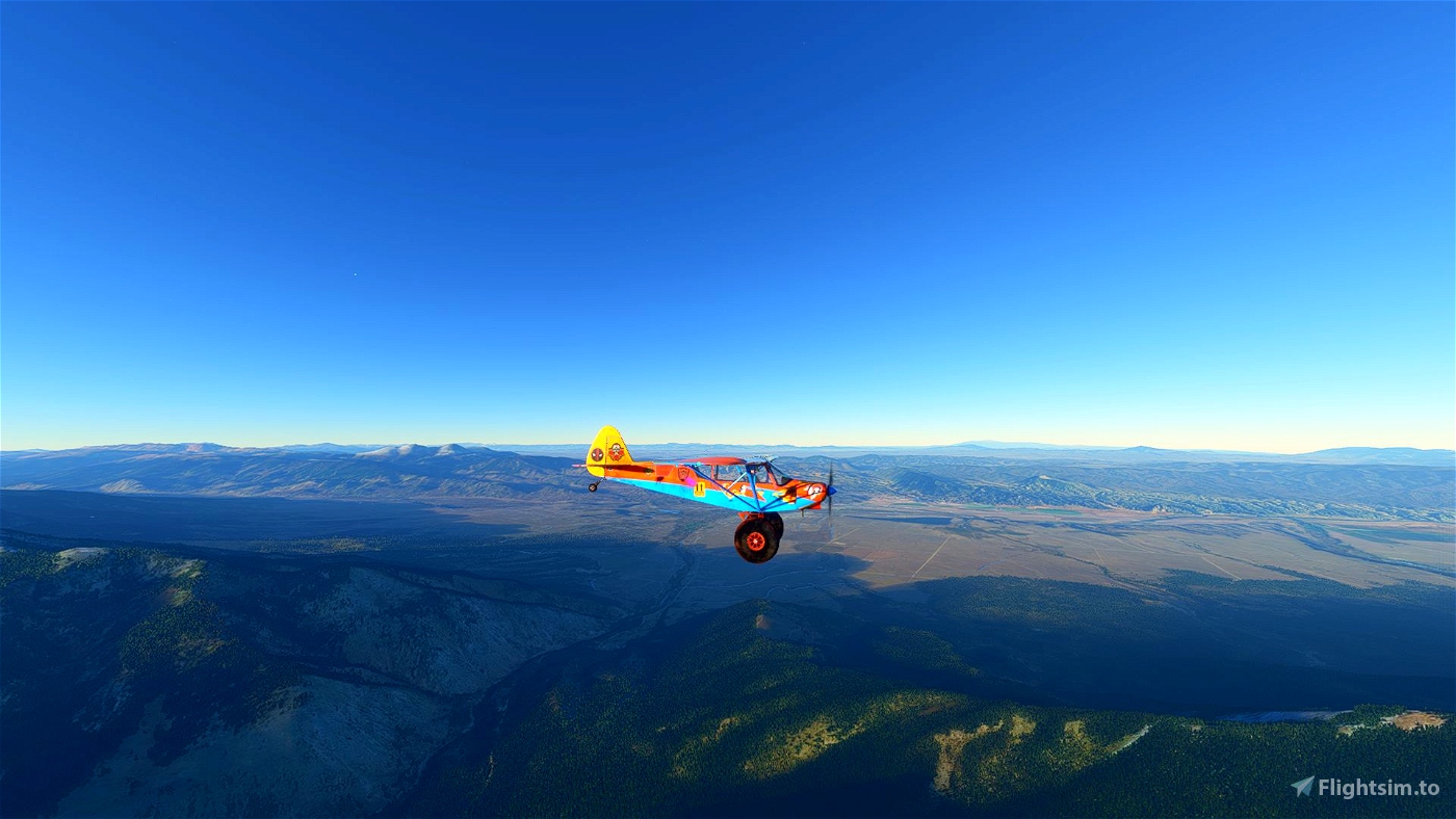
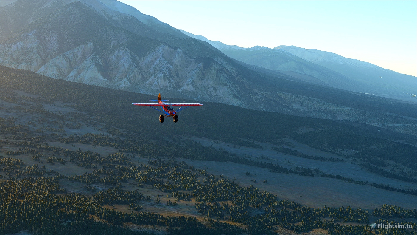
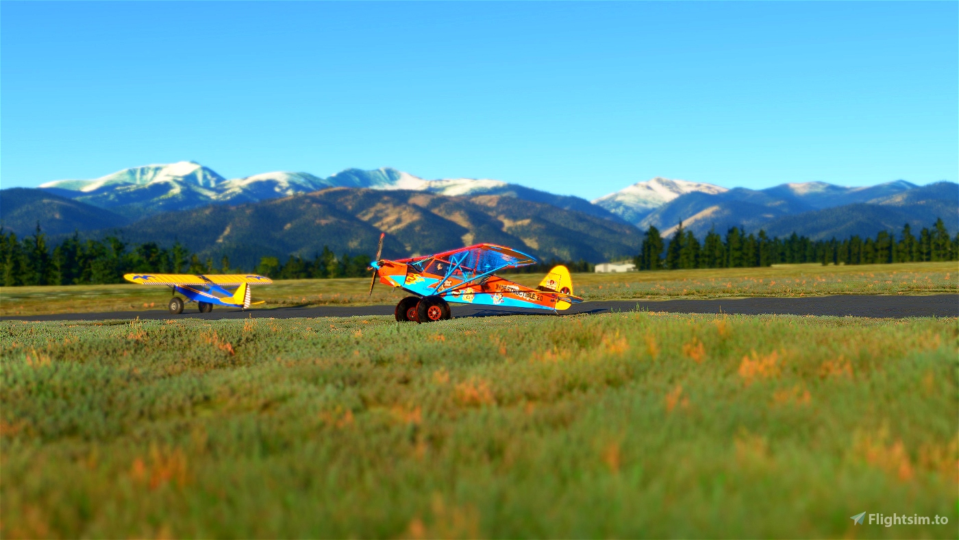
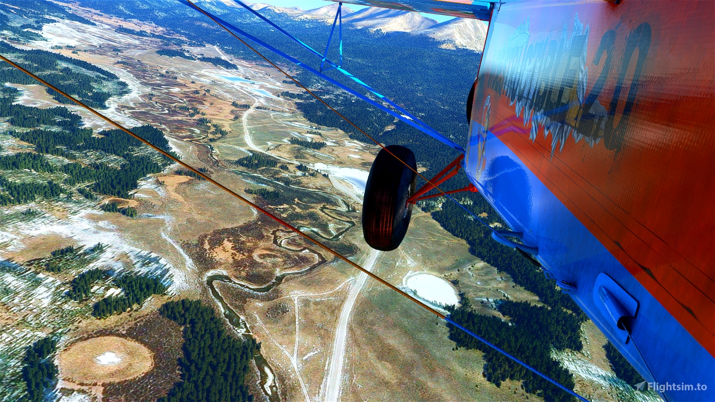
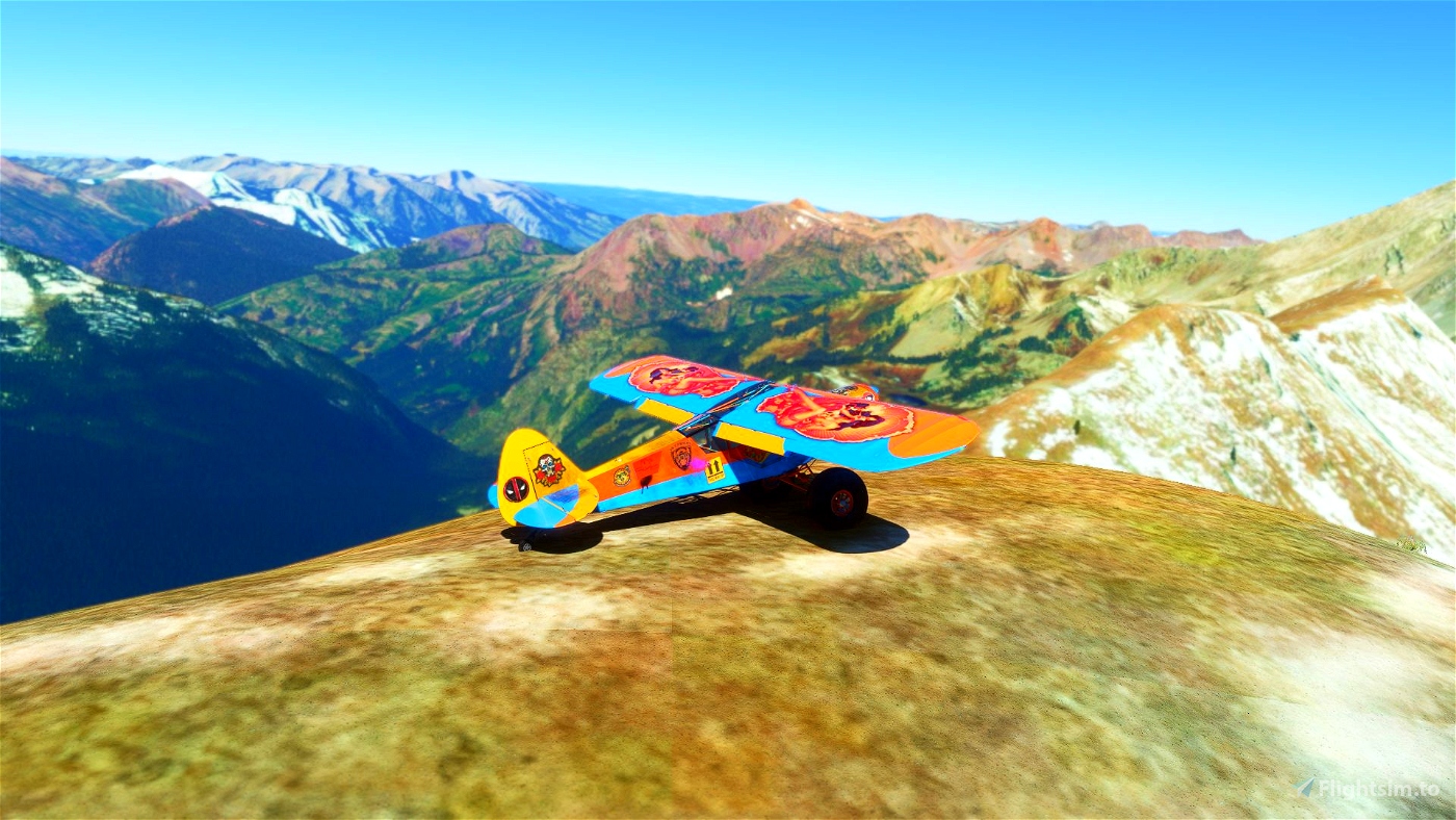
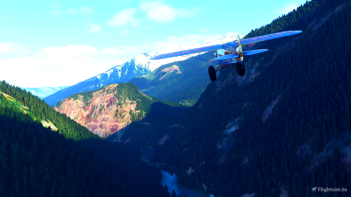
You’ll need a capable STOL machine for this one. I was flying Savage Grravel - https://flightsim.to/file/5061/savage-grravel-monster-truck-in-the-skies
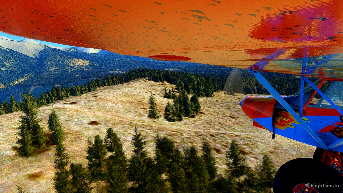
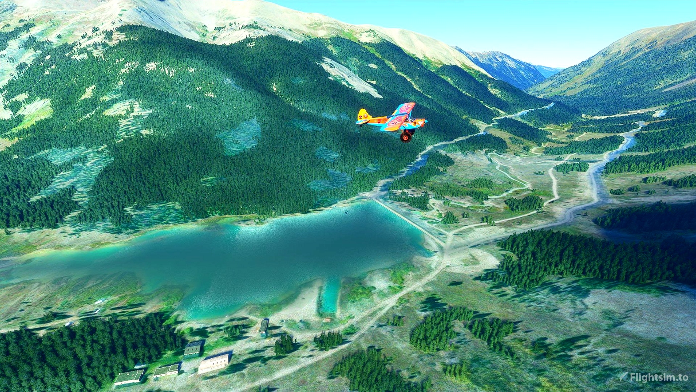
You should really plan ahead and always have a good look of the next landing area since some of them are very small and hard to find.
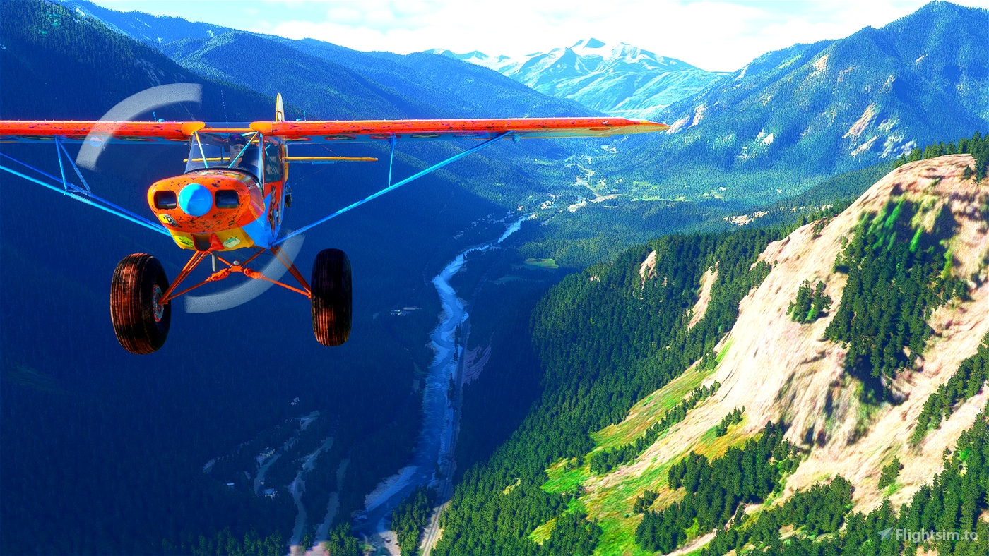
Or you can just use GPS and just enjoy the scenery. It’s a game anyway ;)
I was flying live weather but any preset that is not too windy should do.
Whenever there are two waypoints close to each other there’s a place to land roughly on the line between those two points.
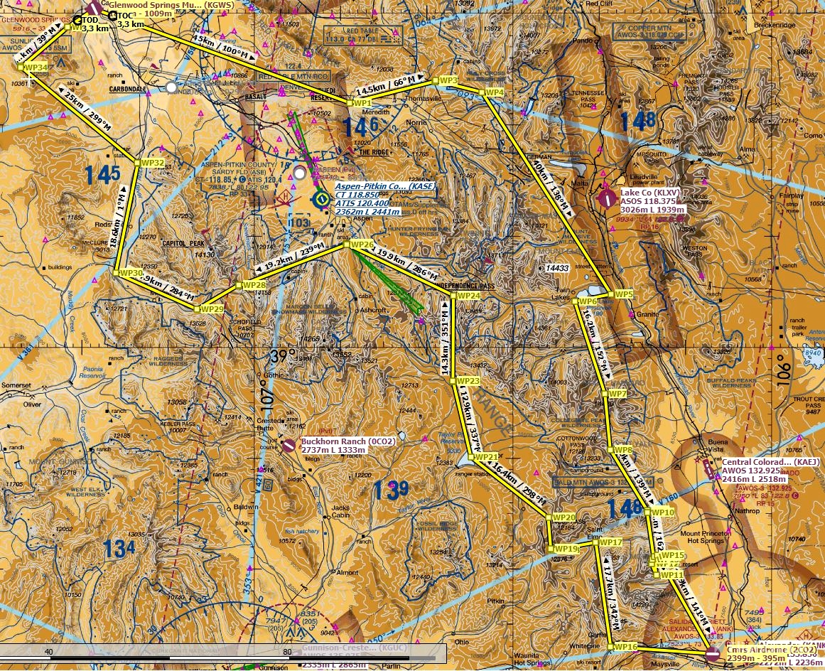
Start at Glenwood Springs Municipal Airport (KGWS)
1 waypoint = normal waypoint unless stated otherwise
2 waypoints = place to land
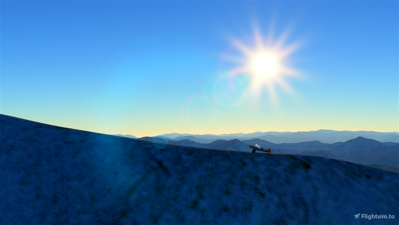
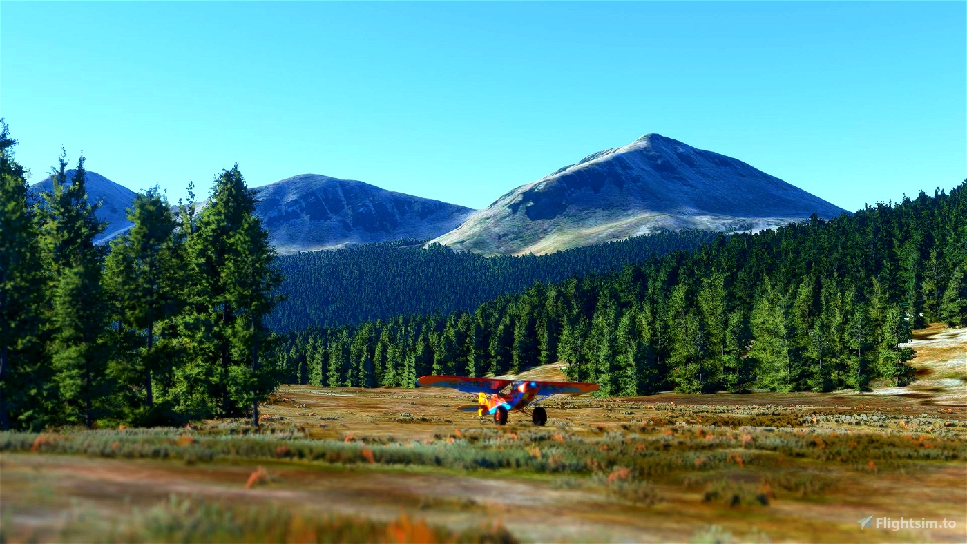
WP5 – land anywhere
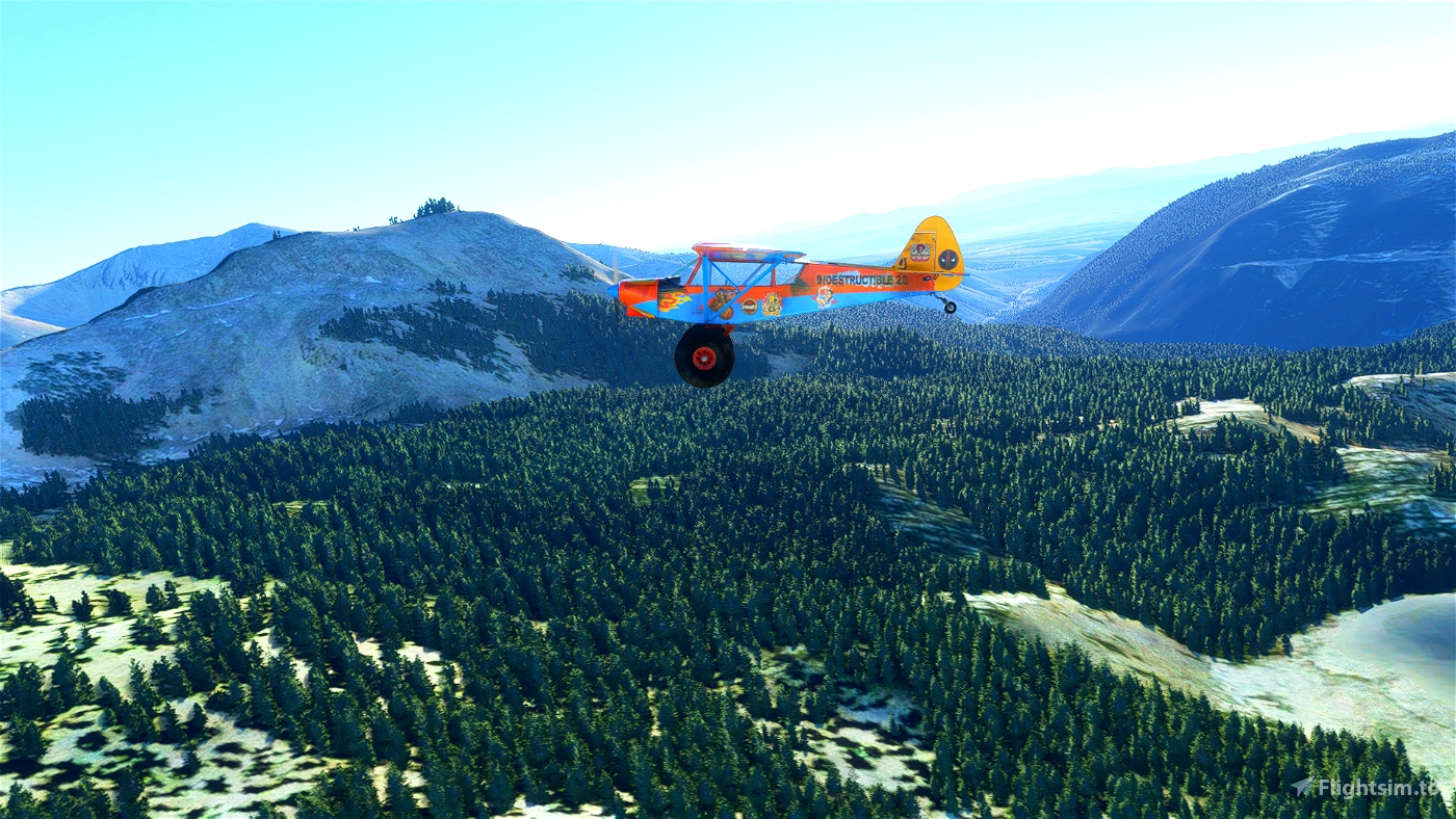
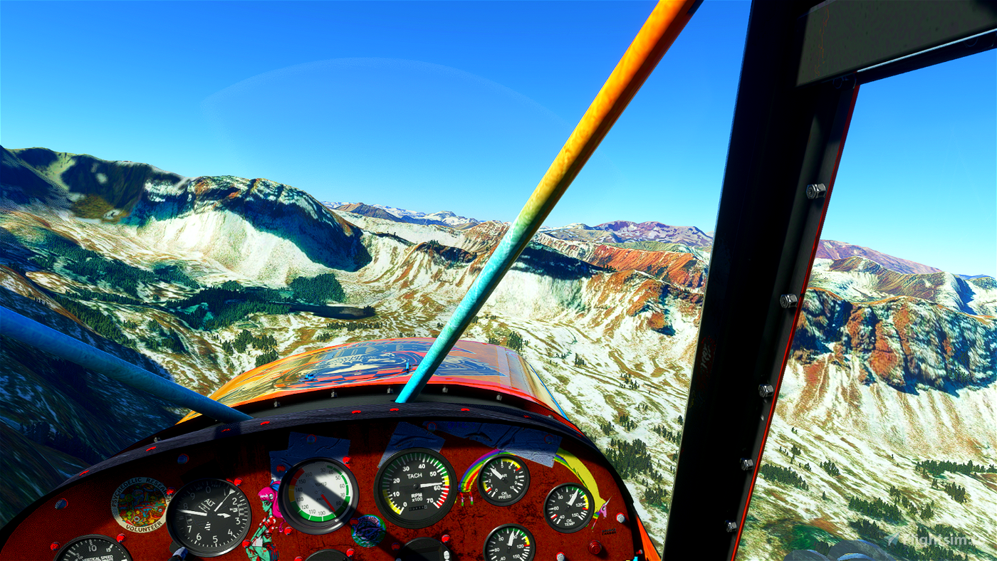
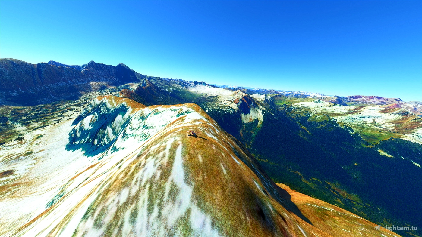
WP12 to WP15 – try to ride it on the mountain ridge
Use google-maps-sat and google-maps-ter layer for easier navigation.
Part one of the trip: https://flightsim.to/file/17800/colorado-bush-trip-navigation-extreme-stol-challenge

 drStation

