Rio Grande downstream.
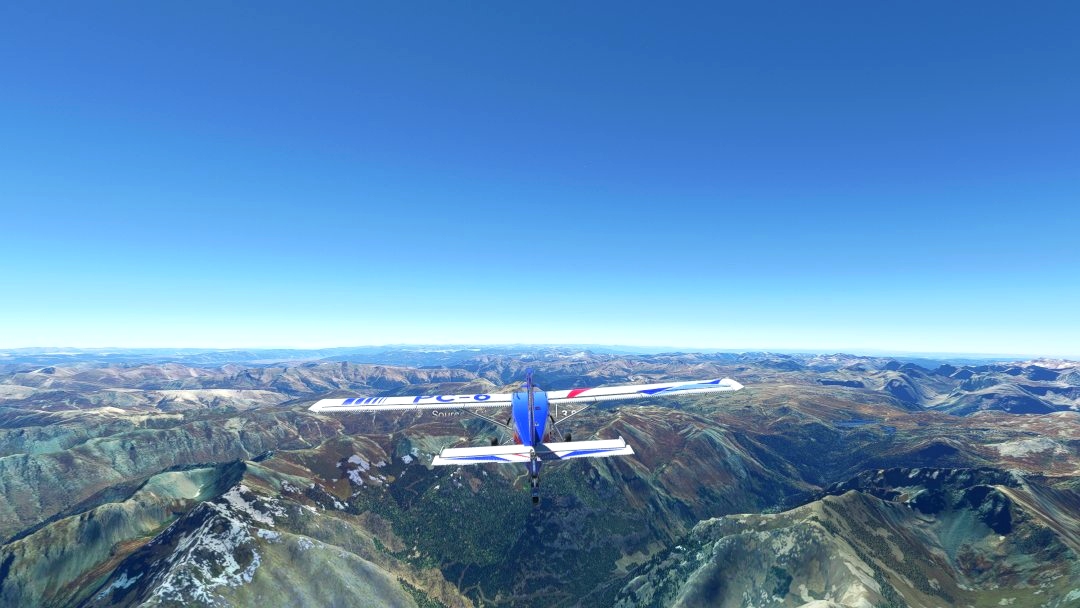
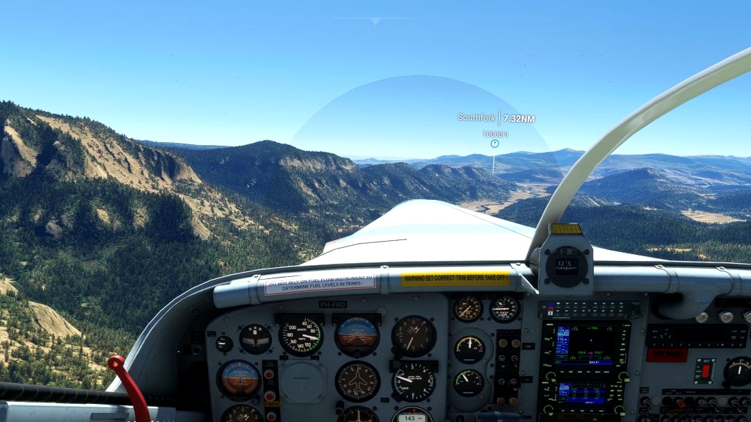
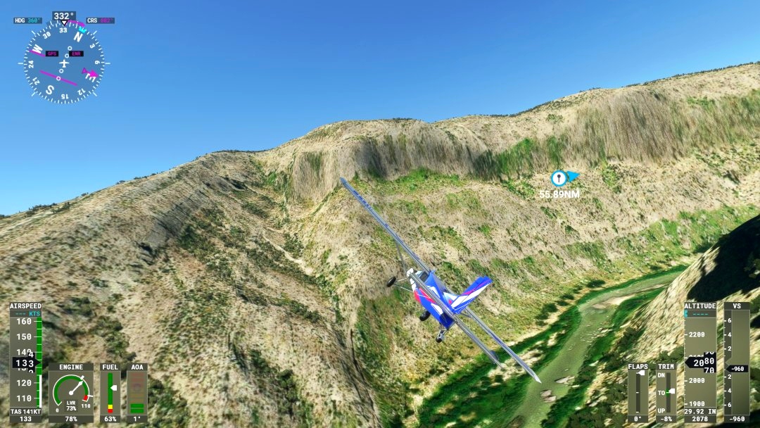
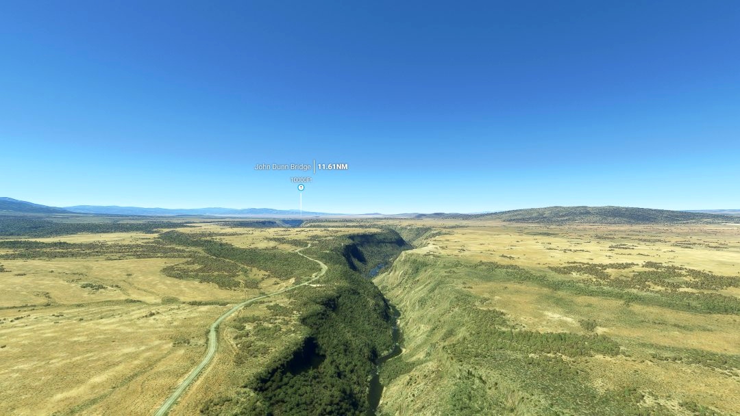
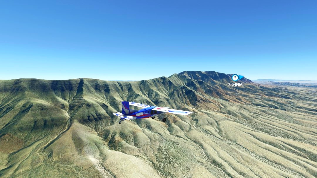
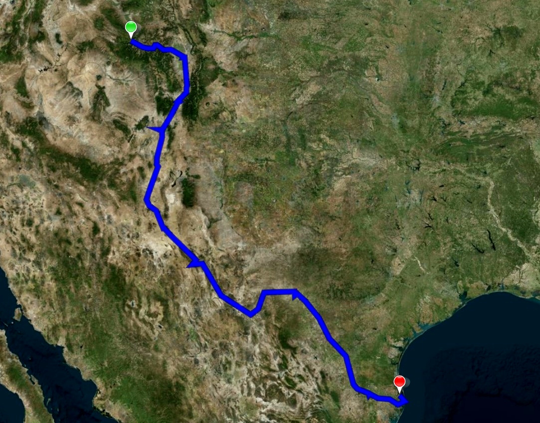
In this BushTrip you will fly downstream along the Rio Grande. You start at Telluride Regl (KTEX) airport at an elevation of 9052 ft, climb to approximately to 14000 ft to fly over the mountain ridge of Canby Mountain. From there you will follow the Rio Grande as much as possible. When you reach the Gulf of Mexico, you are at sea level when you land at KPIL-Port Isabel-Cameron. The trip is 1.265 NM and has 14 legs.
The Rio Grande, one of the principal rivers in the southwestern United States and in northern Mexico, starts with its main stem source at Canby Mountain in south-central Colorado. The Rio Grande rises in high mountains, 12,000 ft (3,700 m), and flows for much of its length at high elevation; Albuquerque is 5,312 feet (1,619 m), and El Paso 3,762 feet (1,147 m) above sea level. Main stem source: Canby Mountain, Continental Divide. The Rio Grande runs along the border between United States and Mexico, from El Paso, (USA) and Ciudad Juárez (Mex) until the Gulf of Mexico. In Mexico the river is known as the Río Bravo del Norte and as the Río Bravo. The length of the Rio Grande is 1,896 miles (3,051 km).
Happy flying and safe landings.
To keep GPS/AP functions you should, before quitting to the main menu, at the end of each leg continue to the next leg and wait until the white line appears in the VFR map.
This trip was made with BushTripInjector and Little Navmap. So many thanks to BuffyGC and Alexander Barthel. Also thanks to the contributors of Wikipedia, for spreading the knowledge.
If you have flown this trip please come back here to give your rating and leave your comment. It s highly appreciated.

 Frontech


That's a long trip with great landscapes. Thank you!
2 years ago
I like to make trips for several categories of pilots. In the past someone told me that I made such short trips, so I combined tree trips to one(Livingstone in Africa). For this trip I doubted publication, because it's a long trip with only the beautiful landscape, but it is a piloting trip. If you like flying this one is for you.
Thank you for your praise and rating.
2 years ago
Frontech
fStopper
https://youtu.be/5dIpGMe7YWA
2 years ago
Nice song about Rio (Grande).
2 years ago
Frontech
FlyingFaux7