Angola North, part three.
This is the third part of the trip flying in Angola North.
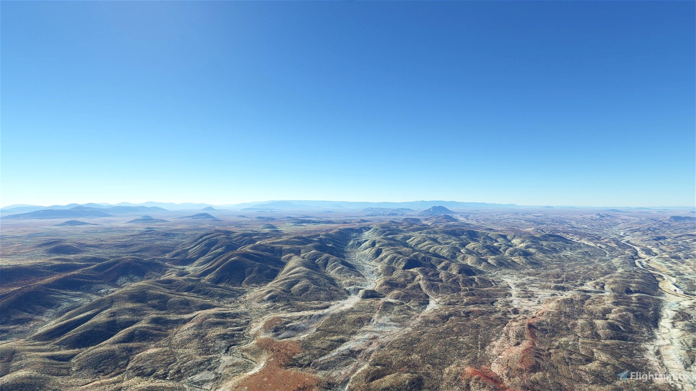
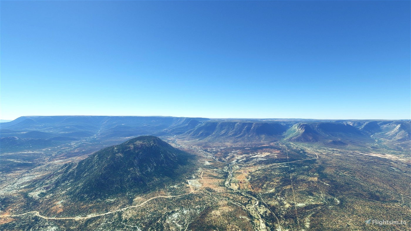
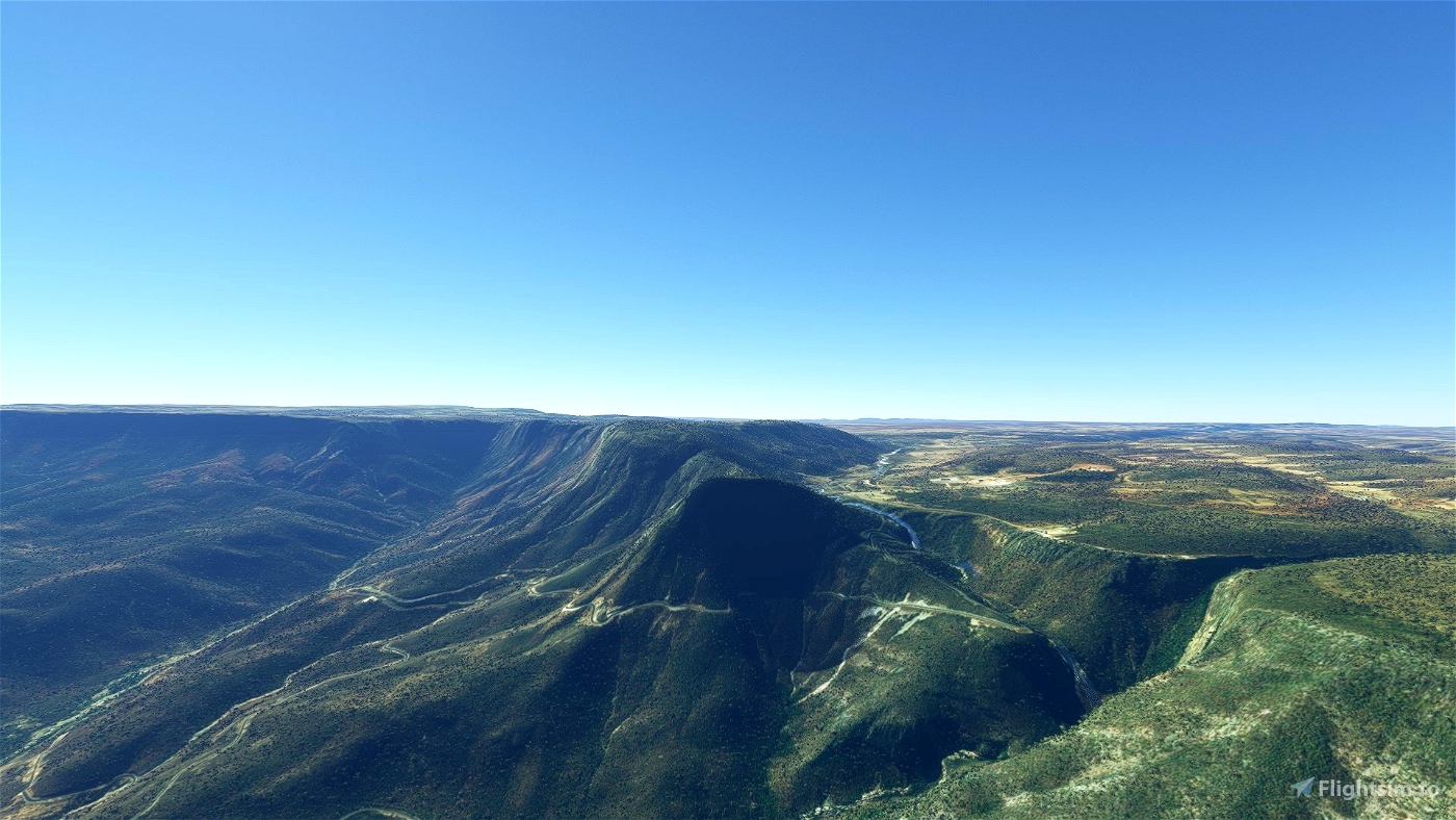
Angola is located on the western Atlantic Coast of Central Africa between Namibia and the Republic of the Congo. It also is bordered by the Democratic Republic of the Congo and Zambia to the east. The country consists of a sparsely watered and somewhat sterile coastal plain extending inland for a distance varying from 50 to 160 km (31 to 99 mi). Slightly inland and parallel to the coast is a belt of hills and mountains and behind those a large plateau. The total land size is 1,246,700 km2 (481,400 sq mi).
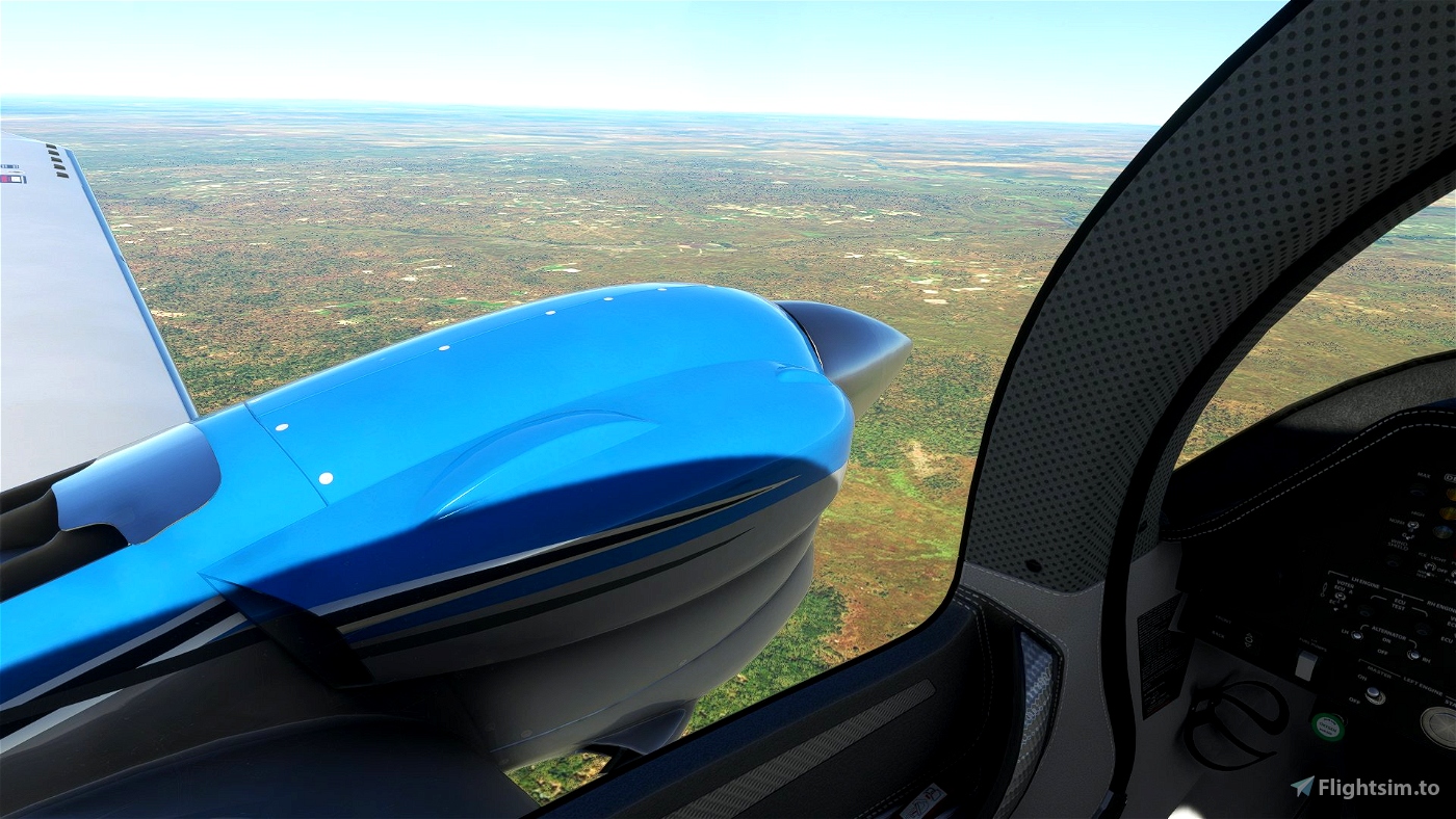
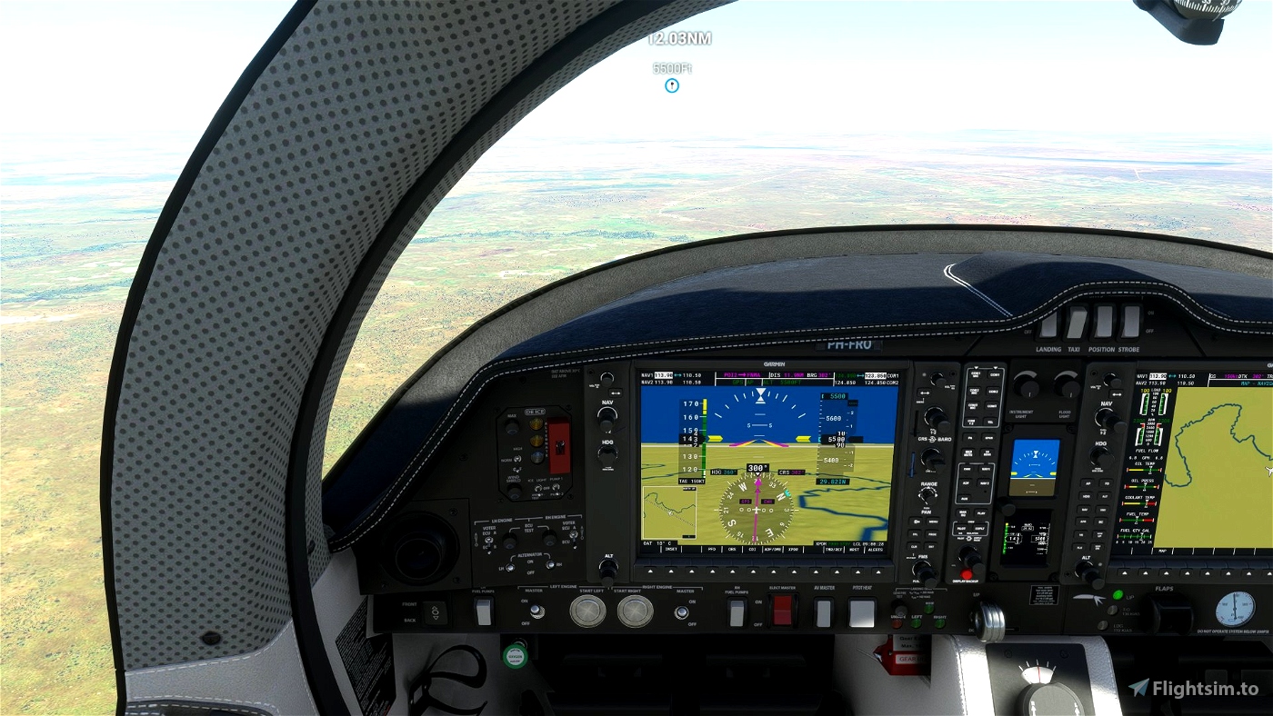
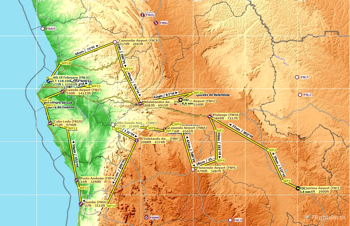
The trip starts in Quirima Airport, where the first part has ended. You fly across the country to reach the coast with the Atlantic Ocean. Then you fly north along the coast and after Luanda you turn inland to see some reservoirs and a waterfall. This trip ends after 988 nm and you have flown all 13 legs. This trip flies mostly over the central north of Angola. It has more mountainous areas, than the other two trips in the North.
To enhance your experience, you should install the following terrain mesh files.
Angola ETM12 Enhanced Terrain Mesh 12m vol_05 - Lunda Norte\Lunda Sul » Microsoft Flight Simulator
Angola ETM12 Enhanced Terrain Mesh 12m vol_06 - Benguela\Huambo\Bié » Microsoft Flight Simulator
Angola ETM12 Enhanced Terrain Mesh 12m vol_07 - Moxico » Microsoft Flight Simulator
General information:
- To end your leg, you need to set your airplane cold and dark; Engine Off, MasterBattery Off, Avionics Off and ParkingBrake On.
- The package is multilingual in the languages: English US, German, Spanish, French, Italian, Polish, Portuguese BR, Russian, Dutch, Finnish, Japanese, Chinese and Swedish. The basic language is US English. The other languages are machine translated, so there may be errors in the translation.
- Weather is user selectable. Live weather is preset
- The button "Load and refuel" is only available at airports with refueling station.
This bush trip was tested, but is not free from the bugs FlightSimulator is presenting the community. Markers are available by default, so it the GPS brakes down you still can fly.
Enjoy, happy flying and safe landings,
The trip was made with the aid of Little Navmap, Wikipedia and BushTripInjector. So many thanks to Alexander Barthel, BuffyGC and all those anonymous contributors to the wiki.
If you have flown this trip please come back here to give your rating and leave your comment. It s highly appreciated.
For anyone who has missed:
Part one: Visit Angola North, part one
Part two: Visit Angola North, part two

 Frontech


...
10 months ago
TheAfricanFlyer
A beautiful route you have chosen there. Thanks for the effort!!!
2 years ago
Koschi,
Thank you for your nice comment and your rating. I am pleased that you like this trip.
Regards,
Frontech
2 years ago
Frontech
Koschi
Magnífico. Obrigado
2 years ago
Thanks for your comment.
2 years ago
Frontech
TheAfricanFlyer