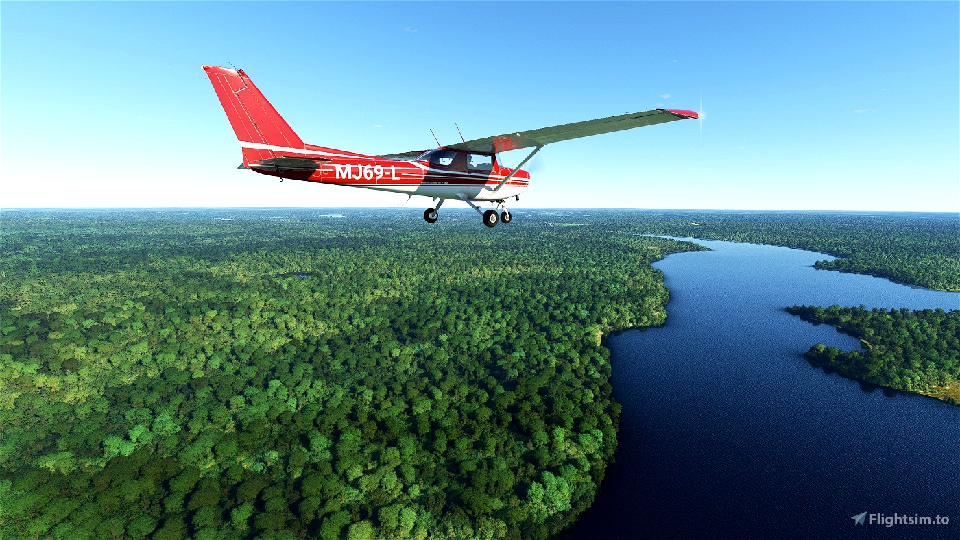


The Mississippi River - Track the world famous Mississippi River through the heart of the USA
Flowing from Lake Itasca in 'The Great Lakes' region, heading east and south until it meets with the Gulf of Mexico
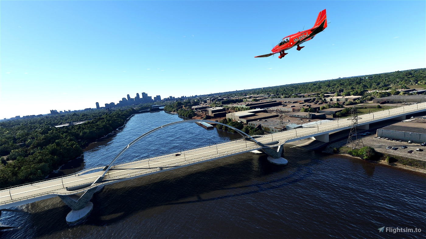
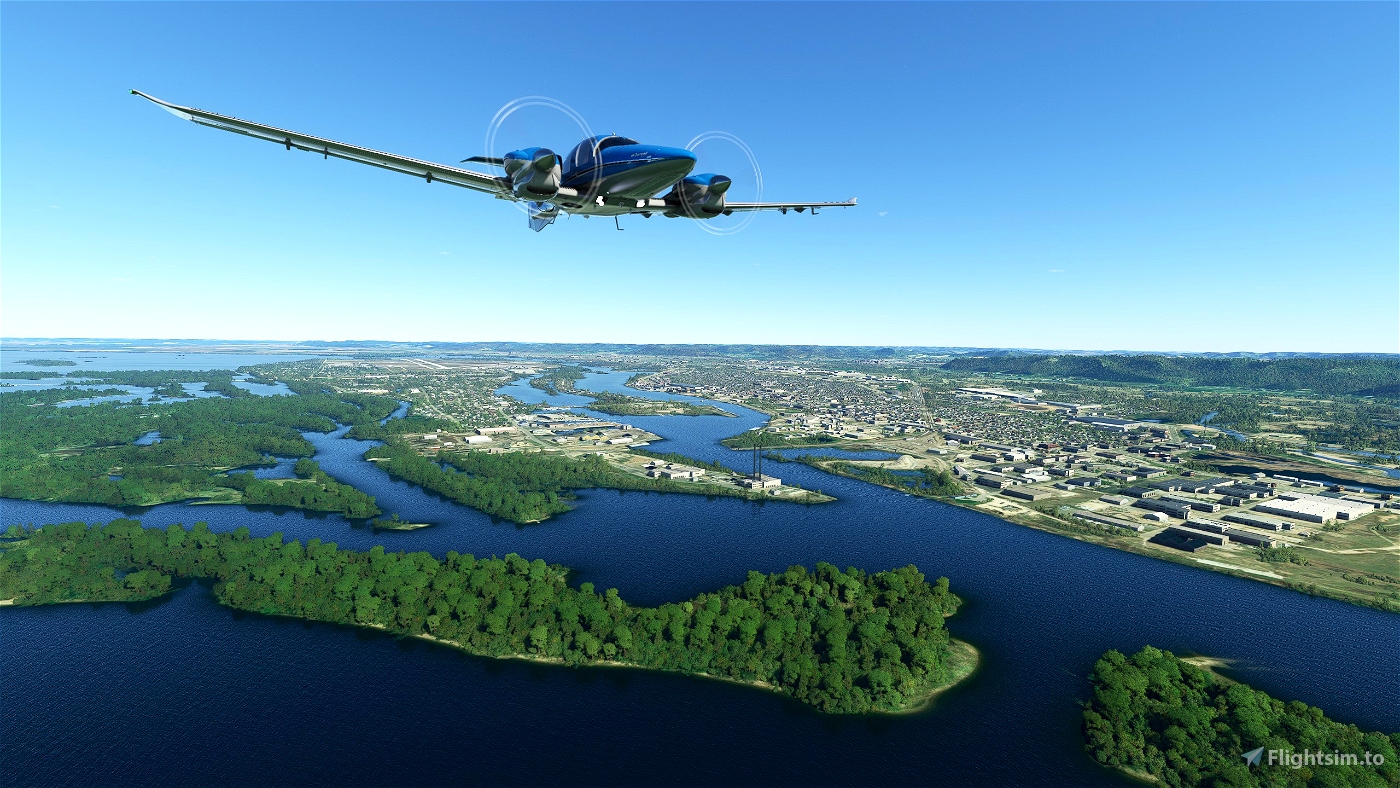
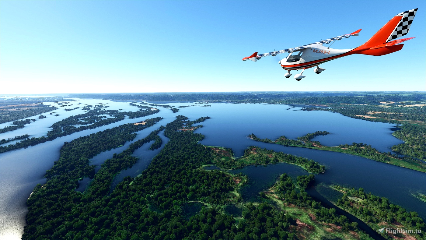
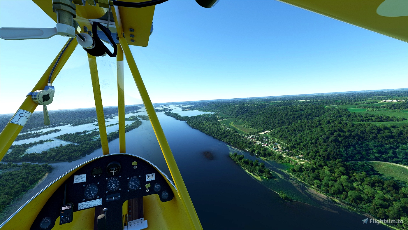
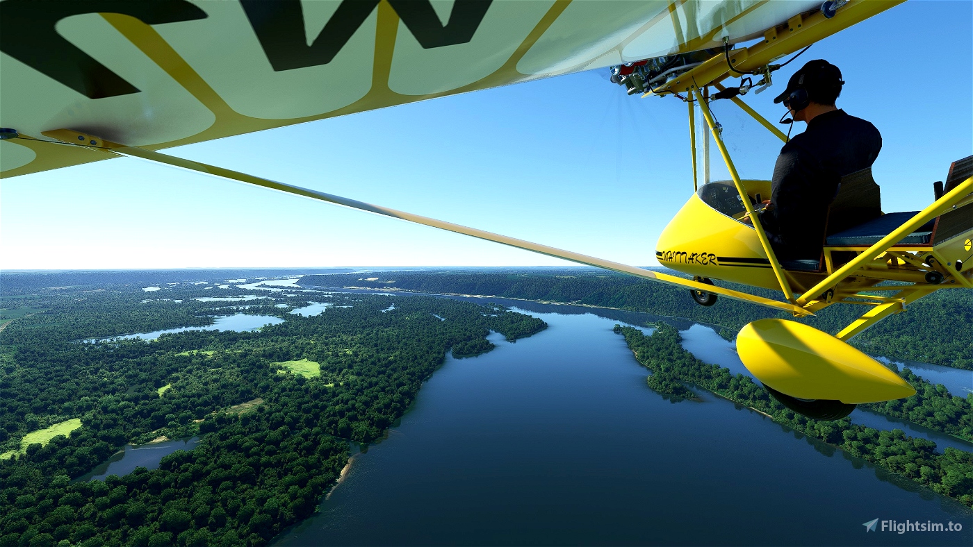
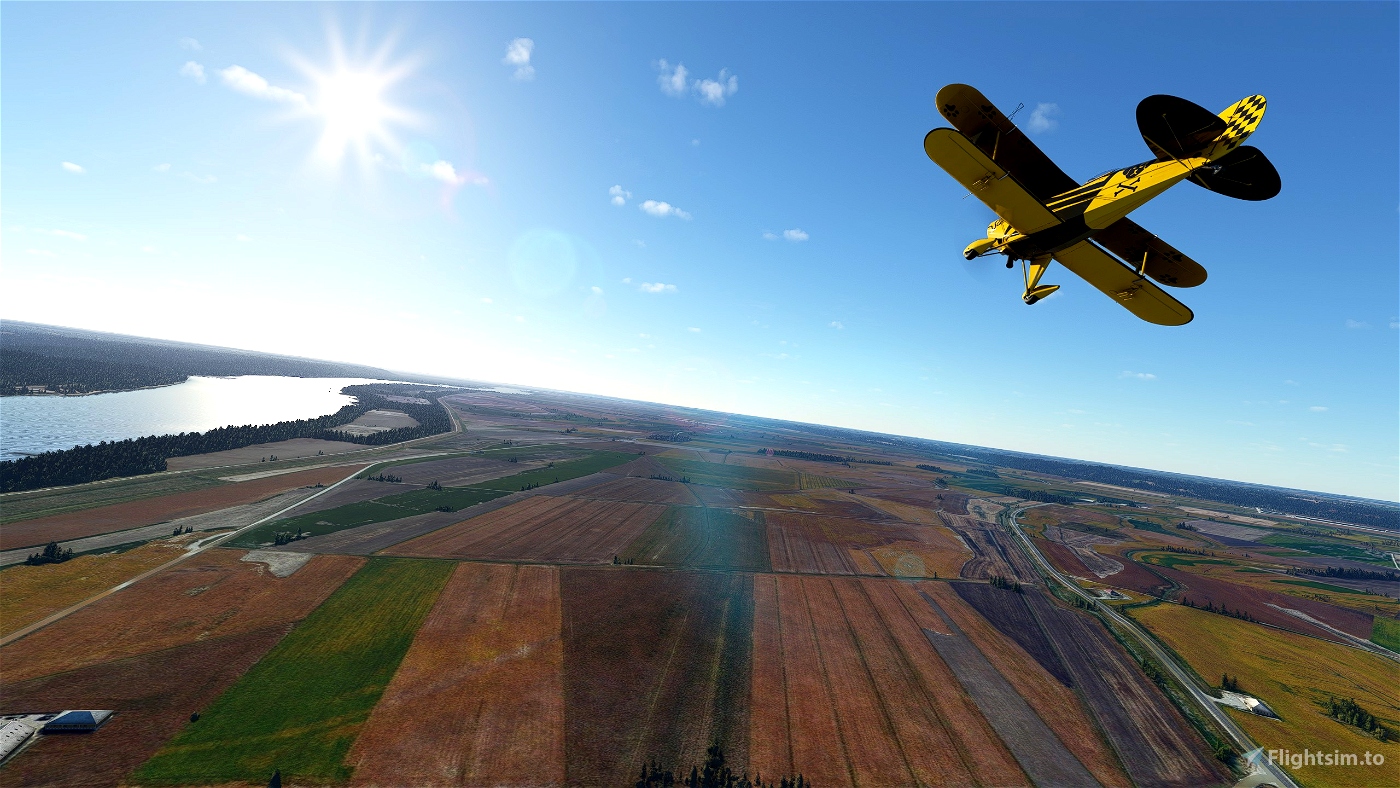
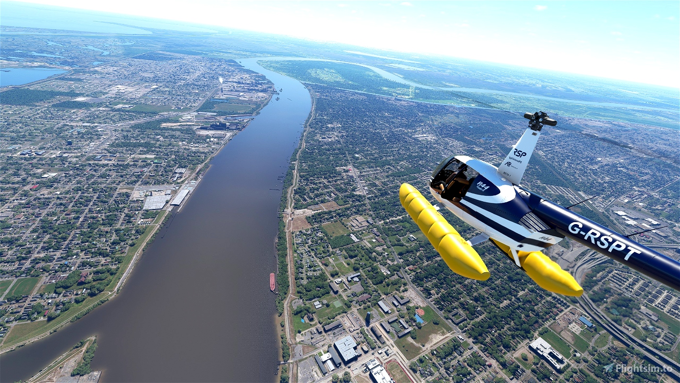
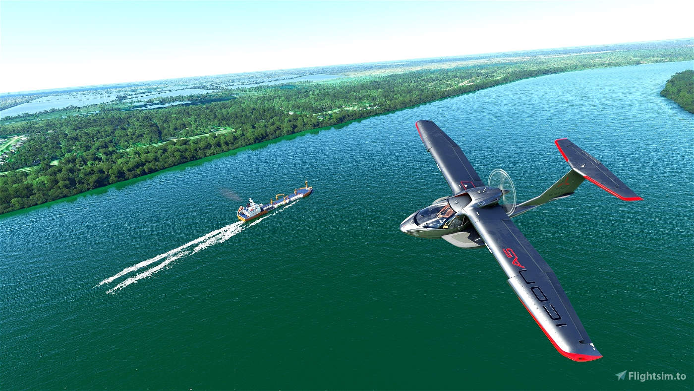
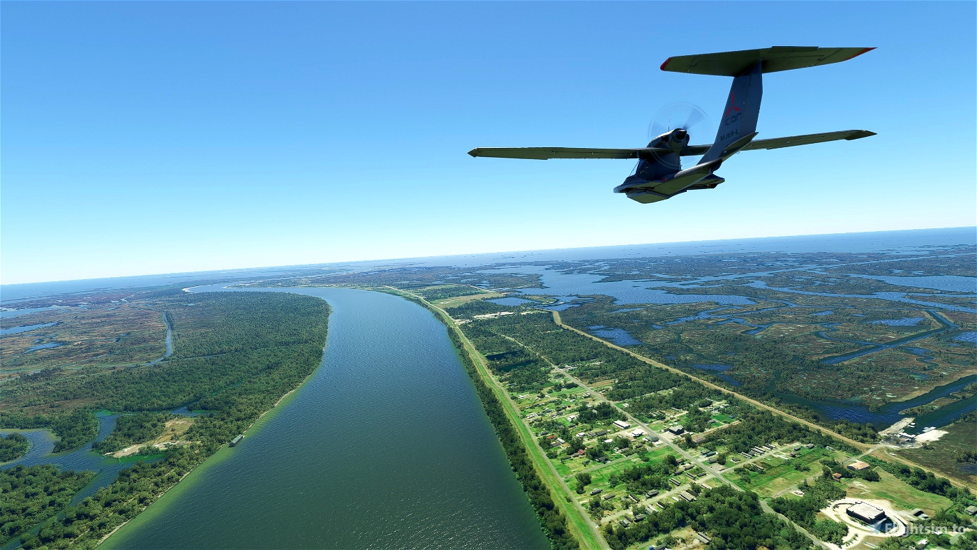
The flight will take you over lust forests, wetlands, rolling grasslands, farmlands, and city scapes - finally opening out into the vast river delta
- 2350 miles of waterways to discover and explore
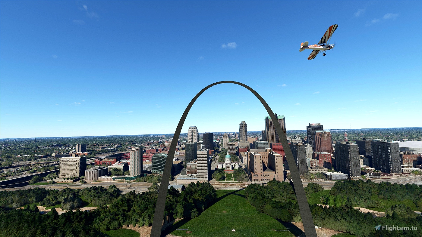
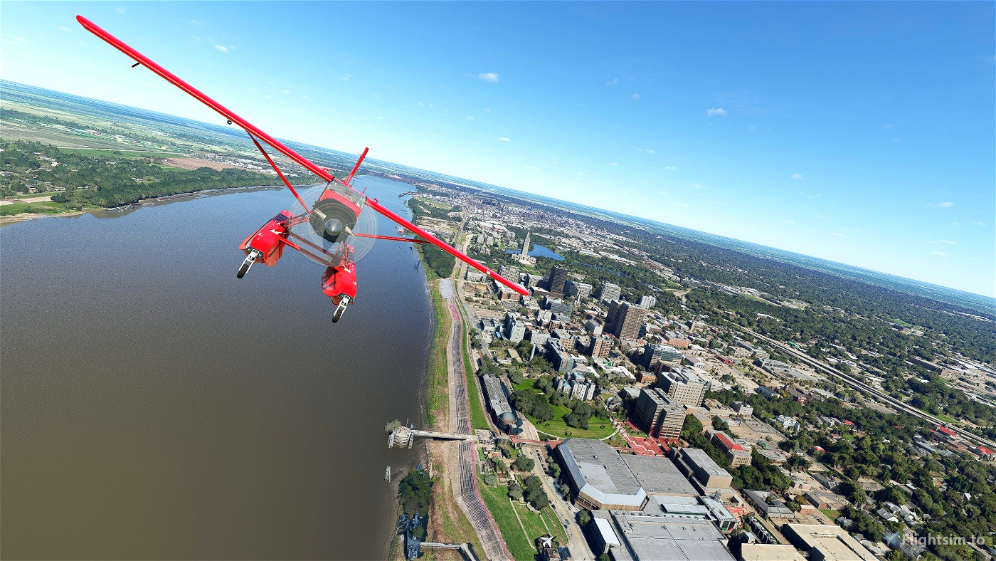
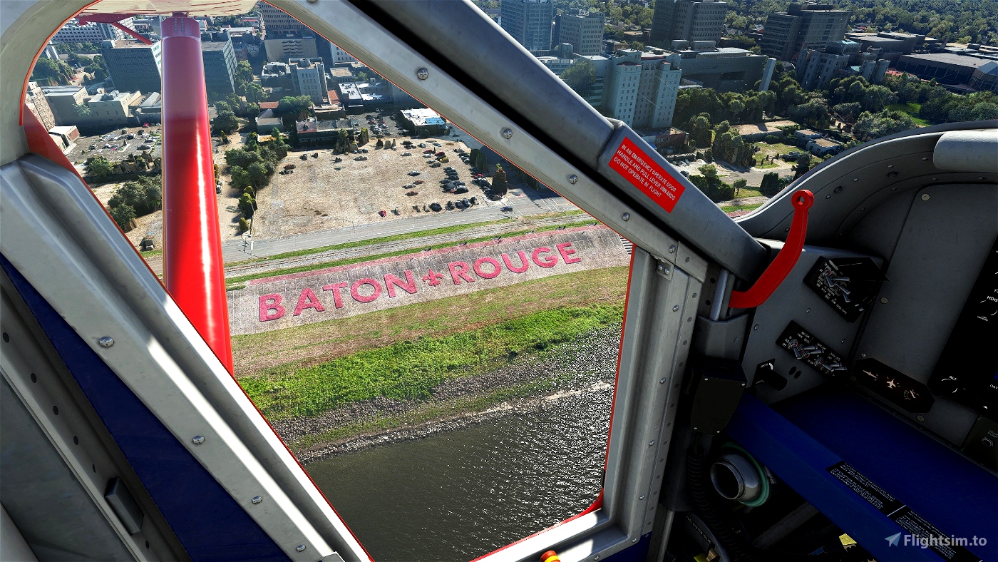
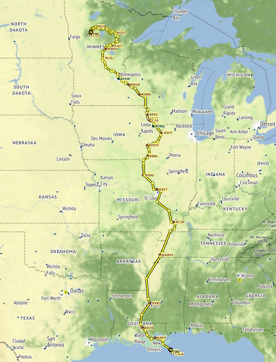
- Passing KGPZ Grand Rapids, KMSP Minneapolis, KSTL Lambert - St Louis, KMEM Memphis, KBTR Baton Rouge and KMSY Armstrong New Orleans
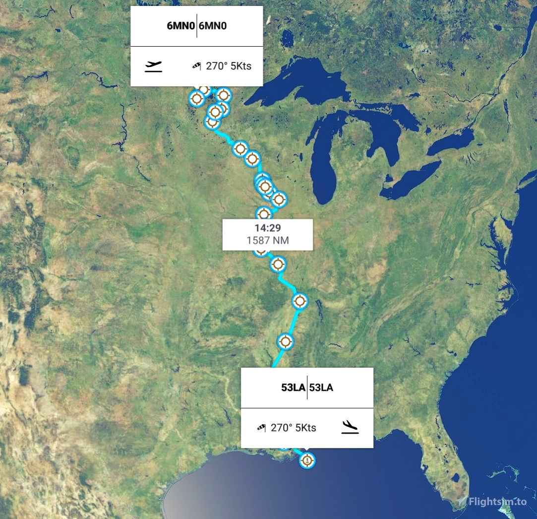
VFR Flight Plan
- 1590nm from beginning to end (following track)
- 12 - 14 hours flight time approx. (Cessna/Cub)
- Entire flight plan can be comfortably flown at 3500ft altitude
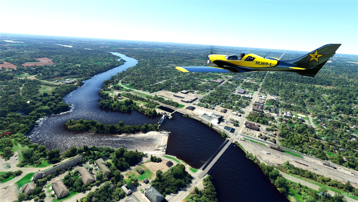
- River runs through 10 US states - Minnesota, Wisconsin, Iowa, Illinois, Missouri, Kentucky, Tennessee, Arkansas, Mississippi and Louisiana
- Over 7 National Parks and Nature Reserves along the river banks
- Multiple stop offs with grass, dirt and hard landing strips
- Waypoints located at key points along the river's journey - explore at your own pace
Be sure to bring your water skis for the journey's end...
Look to enhance your experience and exploration with these add-ons
- KMEM Memphis Intl - https://flightsim.to/file/24385/kmem-memphis-international-fedex-hub
- Global AI Shipping - https://flightsim.to/file/9529/global-ai-ship-traffic-msfs-v1
- We Love VFR Region 2 - https://flightsim.to/file/16674/we-love-vfr-region-2
Please check add-on compatibility before installing - and a thank you to all our content creators for their continuing hard work
Installation -
I have included 2 files in the download zip - extract these files to a folder of your choice i.e. 'My Documents'
1) 'Mississippi River FlightPlan MSFS2020.pln' for directly loading into MSFS2020
Once in the sim go to the world map and click the MORE... LOAD/SAVE buttons at the bottom of the screen, then navigate to the folder containing the '.pln' file
2) 'Mississippi River FlightPlan Little Navmap.Inmpln' file can be opened in the 'Little Navmap' software, for anyone wanting to adjust or add waypoints
Great River Journeys - https://flightsim.to/profile/Marcus_Maracus/uploads

 Marcus_Maracus


Thank you for creating this. Im starting this flight now as i'll finish in south louisiana where I live.
2 years ago
CML9200
Really like it! Thanks for posting the LNM file too, since i can't spend that time in game I was able to split it easy into various legs douring the journey! Great flight!
2 years ago
MarioneIT
Great flight , We have 5 of us flying the route together in Cessna 172 Stopping along the way to refuel. Good fun thank you for the flight.
2 years ago
NJG26Cappy