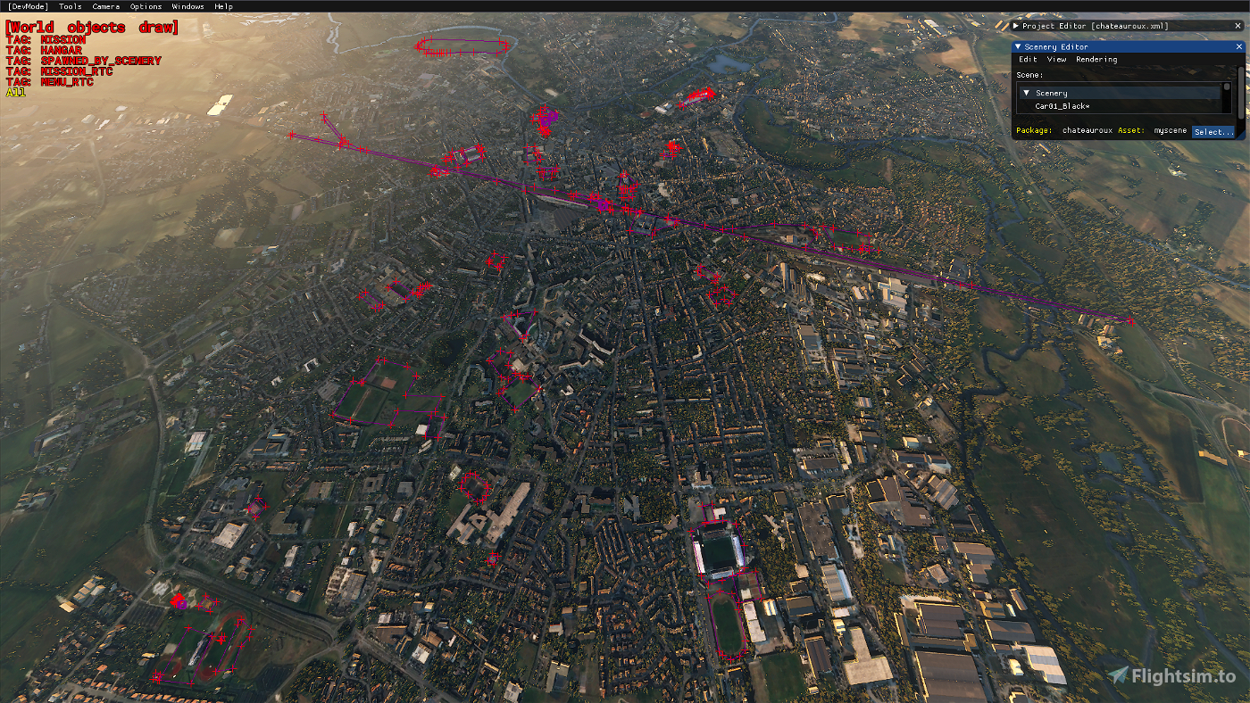
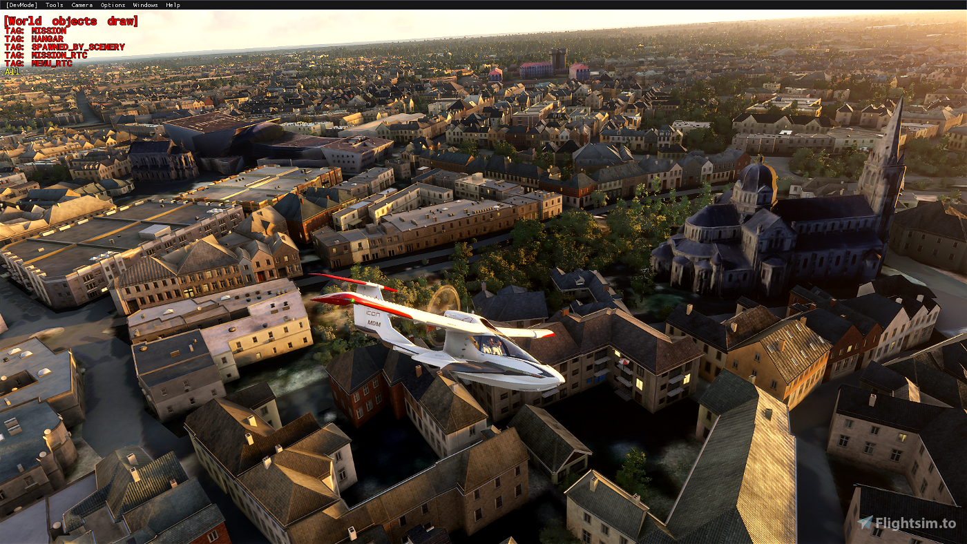
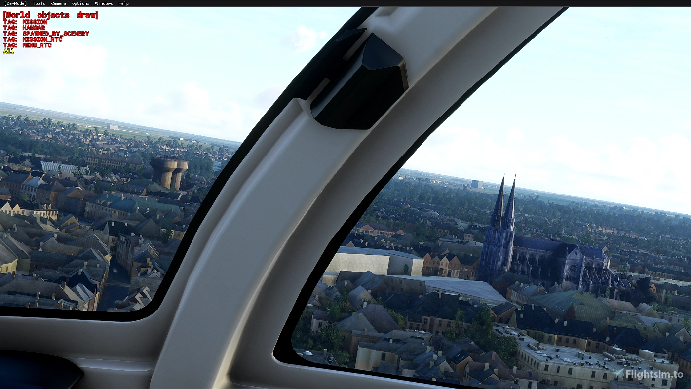
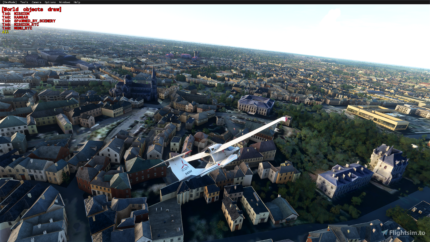
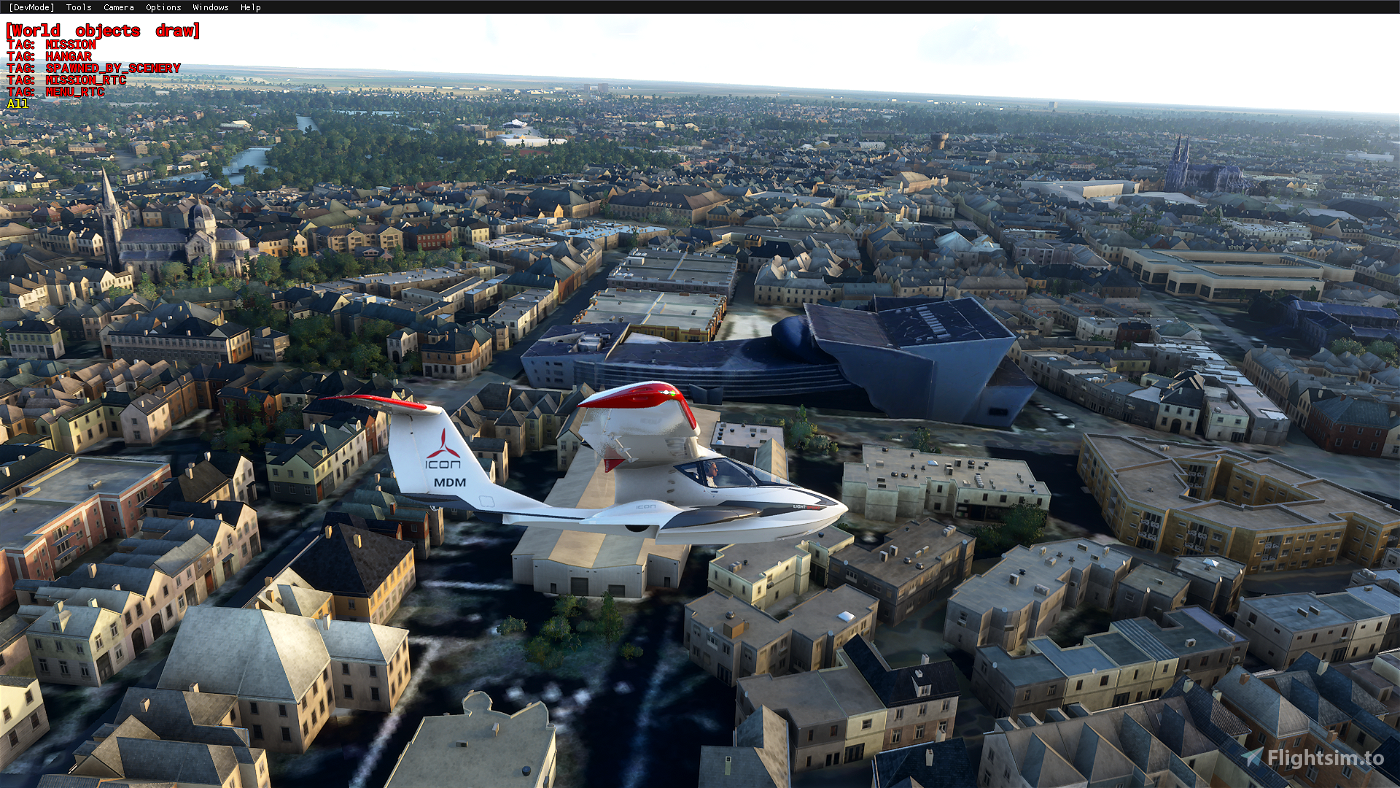
Location - Châteauroux, France
GPS - 46.811742, 1.699584
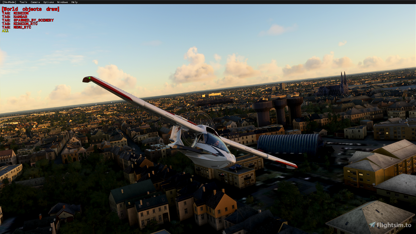
Here is my second french scenery, I have to work more on it, some places like the train station are not 100% made but I think it's time to release v1.
Hope you'll enjoy it !
Buildings
- Administrative buildings
- Best Western Plus
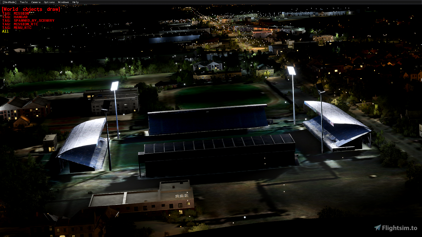
- Boulodrome (boules games)
- Buildings
- Court
- Equinoxe media library
- Gaston Petit stadium
- Hippodrome
- Judo club
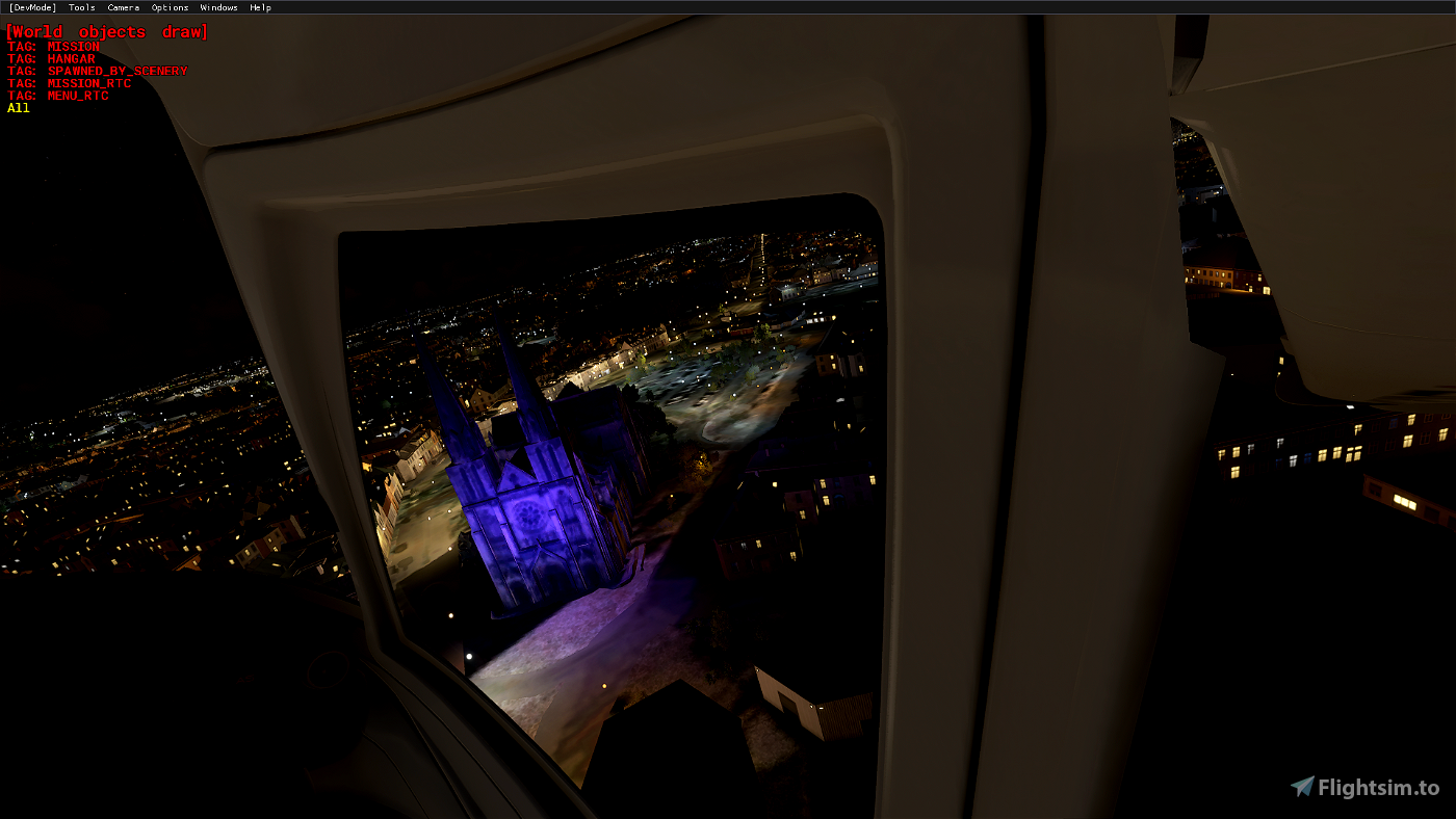
- Notre Dame church
- Prefecture
- Raoul castle
- Saint André church
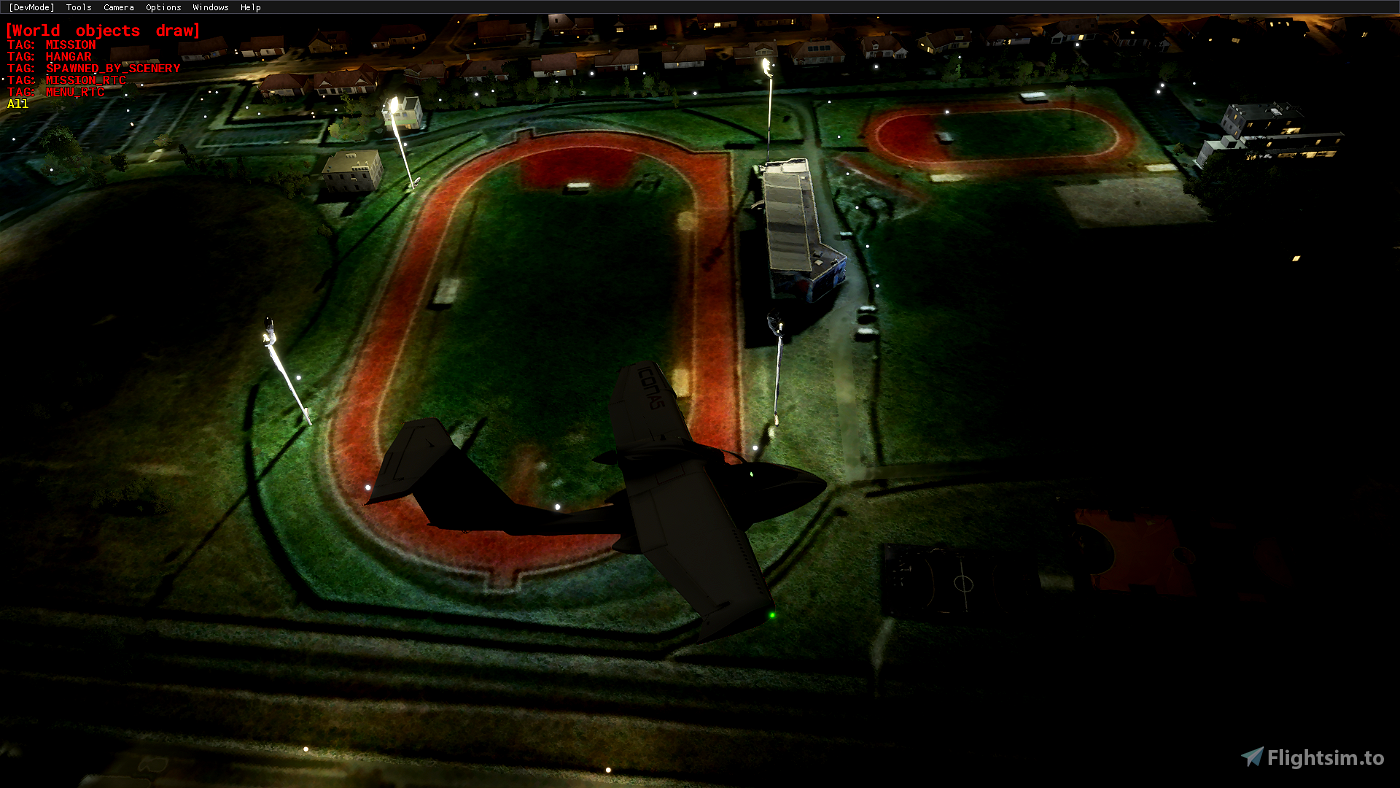
- Sport complex "La Margotière"
- Towers 1
- Towers 2
- Train station
+ A few trees removed
+ Tested to add a few cars in some parkings
Notes
1 - Some lights at night but willing to improve and add more
2 - 90% contrast corrections done
Tell me if i made mistakes, i'll learn from them.
Open to any suggestion, advice, or help to improve this scenery.
If you want me to add another building in this area, tell me.
Have a good flight !
Jgodagno
En français :
Voici mon second scenery français, je dois travailler plus dessus, quelques endroits comme la gare ne sont pas faits à 100% mais je pense qu'il est temps de sortir la v1. J'espère que vous apprécierez !
Bâtiments
- Bâtiments divers
- Boulodrome
- Best Western Plus
- Complexe sportif de la Margotière
- Château Raoul
- Cité administrative
- Club de Judo
- Eglise Notre Dame
- Eglise Saint André
- Gare
- Hippodrome
- Préfecture de l'Indre
- Mediathèque Equinoxe
- Stade Gaston Petit
- Tours 1
- Tours 2
- Tribunal
+ Suppression de quelques arbres
+ Test d'ajout de voitures dans quelques parkings
Notes
1 - Quelques lumières la nuit mais je souhaite les améliorer et en ajouter d'autres
2 - 90% des corrections de contraste des images effectuées
Dites-moi si j'ai fait des erreurs, j'en tirerai les leçons.
Je suis ouvert à toute suggestion, conseil ou aide pour améliorer cette scène.
Si vous voulez que j'ajoute un autre bâtiment dans cette zone, dites moi.
Bon vol !
Jgodagno
File credits
This free creation contains content from Google Maps or Google Earth. In accordance with Google Terms of Services and especially point 2.2 of Google Maps/Google Earth Additional Terms of Service, this creation is based on « fair use » or « fair dealing » of the data provided by google throught its services. No commercial use or any gain is or will ever be made by the author of this creation, who doesn’t own anything regarding google assets but a simple user Licence. According to the following document https://www.google.com/intl/en-GB/permissions/geoguidelines/, the author is freely sharing a creative application of Google Maps or Google Earth. The author will not recieve any form of retribution for sharing his work, even general donations from users of file hosting web services under the form of « rewards » or « tips ». If this content would be found somewhere where it is provided in exchange of money or any kind of retribution, I wouldn’t be with the consent of the author who will stick to strict free content creation diffusion.
Part of this content including 3d data and textures is copyrighted by
Imagery ©2020 Google, Imagery ©2020 CNES/ Airbus, Maxar Technologies,
USDA Farm Service Agency, Map data ©2020 Google.


Bravo, il faut continuer. Félicitations
1 years ago
F6BBH
PS: Je viens de faire un vol en hélicoptère au dessus de la ville. Dommage qu'il n'y ai pas le "Building" du centre ville et la Mairie comme il faut. Et je ne sais pas si c'est chez moi ou pas mais à l'arrière de l'église Saint André il y a un Bug avec des gros rochers au lieu des arbres.
Mais sinon encore merci
3 years ago
Tophe77
Merci pour ces ajouts dans la ville de Châteauroux. Au départ de l'aérodrome de Châteauroux-Villers LFEJ sorti récemment, c'est l'idéal pour faire le tour de la ville.
4 years ago
4 years ago
Jgodagno
damiendelille