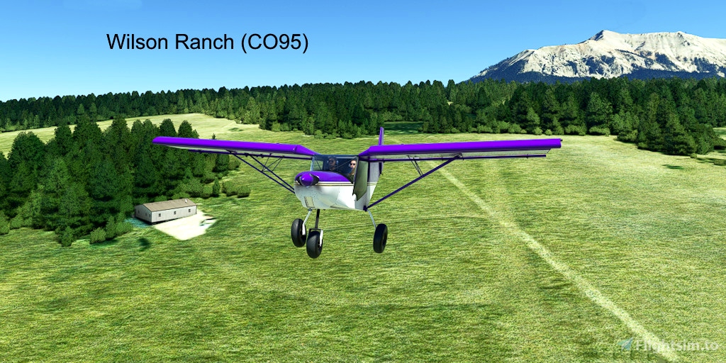
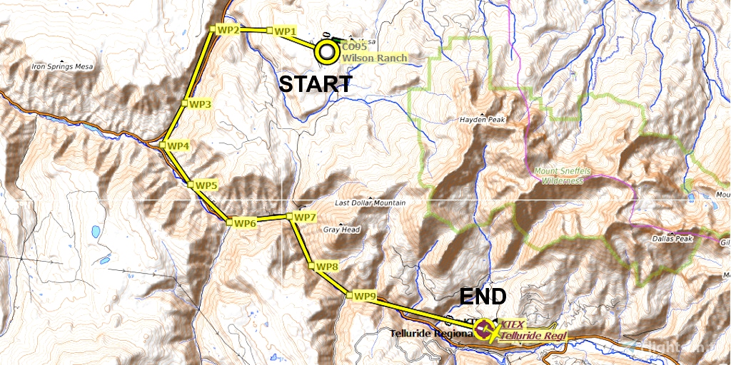
Archived - waypoints do not function well in mountainous terrain. Will re-visit at future date.
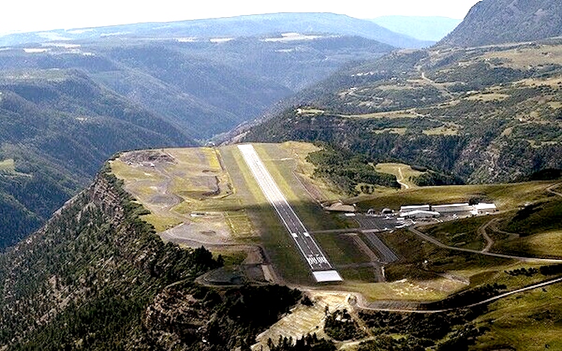
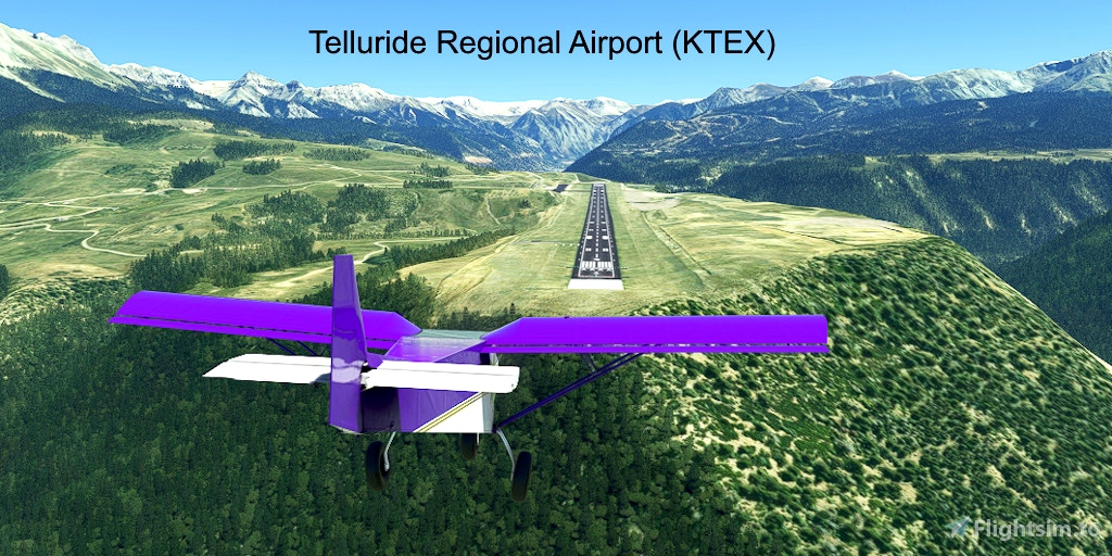
Telluride Regional, in Colorado, is the highest commercial airport in the U.S., and the second highest overall airfield, after Leadville, Colorado. It is atop a cliff, and has an Engineered Materials Arrestor System (EMAS) to prevent runway overruns.
Runway that departs in the direction of the flight plan: 27
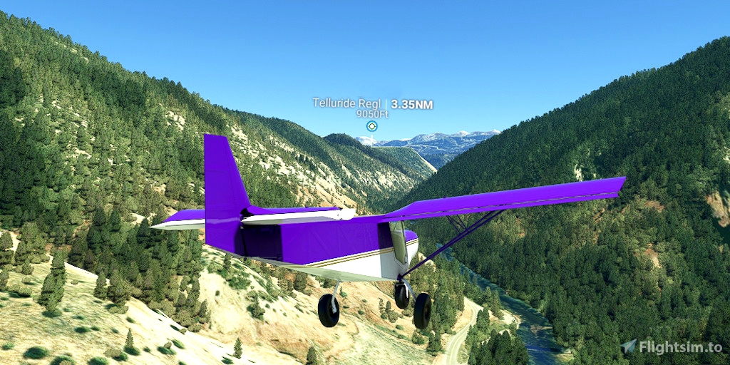
Distance: 14 nautical miles
REQUIRED: Turn off AI ATC communications to properly display the visual waypoint markers in this plan:
Options > Assistance Options > Piloting > AI Radio Communications (ATC) > Off
REQUIRED: The relevant World Update (region) must be installed to ensure that the desired points of interest are displayed. World Updates are free in the Marketplace:
Welcome tab > Marketplace > search for "World Update"
RECOMMENDED: Aircraft that cruises at less than 85 knots per hour. Slower airspeed = better display of visual waypoint markers.
RECOMMENDED: Turn off City Markers to declutter the screen. Low-altitude waypoints are often lost in the clutter of the city markers.
Options tab > Assistance Options > Points of Interest > City Markers = Off
See the included "README.pdf" file for additional instructions and tips.

 FederFlyer


Thank you!
1 years ago
Ginete