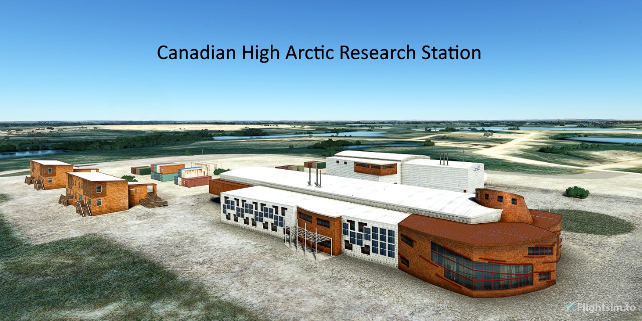
The Canadian High Arctic Research Station (CHARS), operated by Polar Knowledge Canada, provides researchers with technical services. It supports a wide range of research, including ecosystem monitoring and DNA analysis.
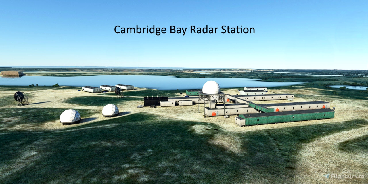
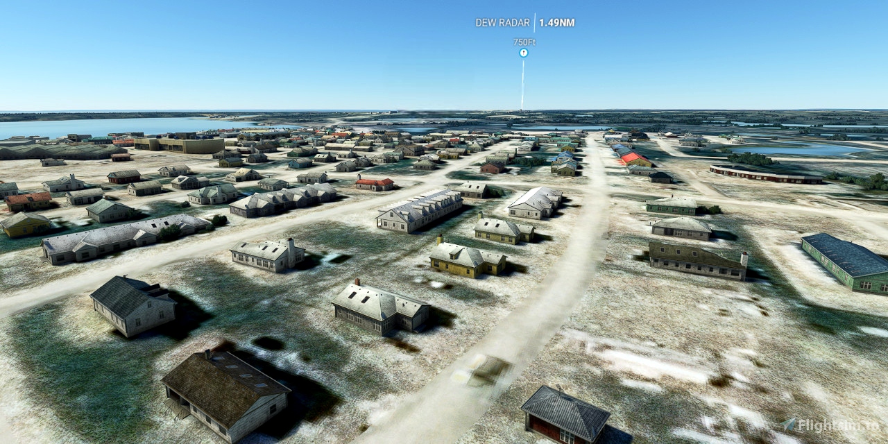
The Distant Early Warning Line (DEW) was a system of radar stations in the Arctic region of Canada. It was the northernmost and most capable of three radar lines in Canada and Alaska, set up to detect incoming bombers or land invasion during the Cold War.
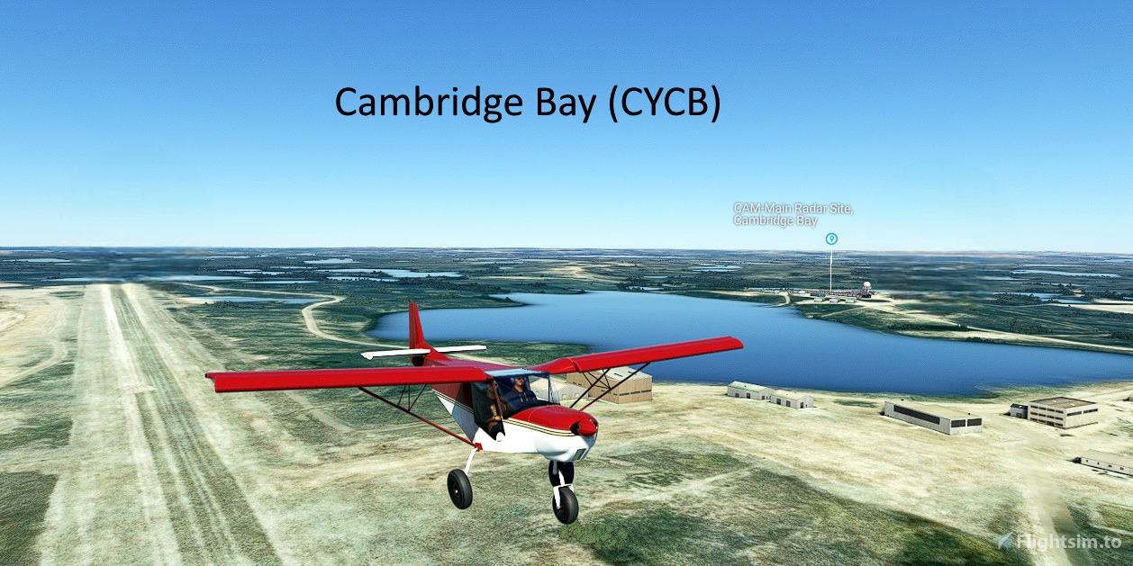
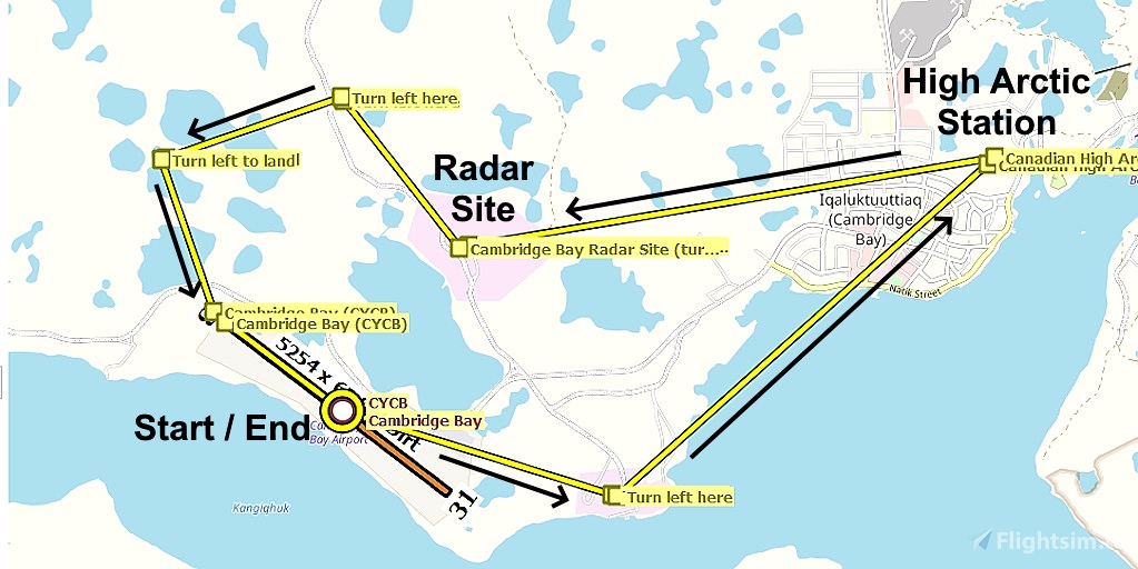
Runway that departs in the direction of the flight plan: 13
Distance: 6 nautical miles
No navigation or GPS instruments are required; simply follow the on-screen markers.
Do not engage the copilot or autopilot. They may alter or suppress waypoints.
MSFS settings for the best experience with this flight plan: Options > Assistance Options >
- Piloting > AI Radio Communications (ATC) > Off (required to properly display the waypoints)
- Navigation Aids > Route and Waypoints > On
- Points of Interest > Landmark Markers > On
- Points of Interest > City Markers = Off (optional - declutters the screen)
- Points of Interest > Display Direction to Chosen POI > Off (disables the confusing destination marker)
- Points of Interest > Display All Labels > Off
- User Experience > ATC Enforce Flight Plan > On (prevent current conditions from overriding selected runway number)
How to Use This Flight Plan
- Unzip the downloaded file into any folder.
- The flight plan is the file that has the “ .pln ” filename extension.
- MSFS > Welcome tab > World Map > Press Spacebar twice (More > Load) > Load From ...
- Navigate to where you saved the flight plan and select it.
- In the "From" airport, select the departure runway (provided in this description, above).
- Click on the Flight Conditions window at the top right to adjust time and month.
- Click on "Fly" at the bottom right of the screen.

 FederFlyer

