
FlyingTheston 4 years ago feedback
improved aerial photography
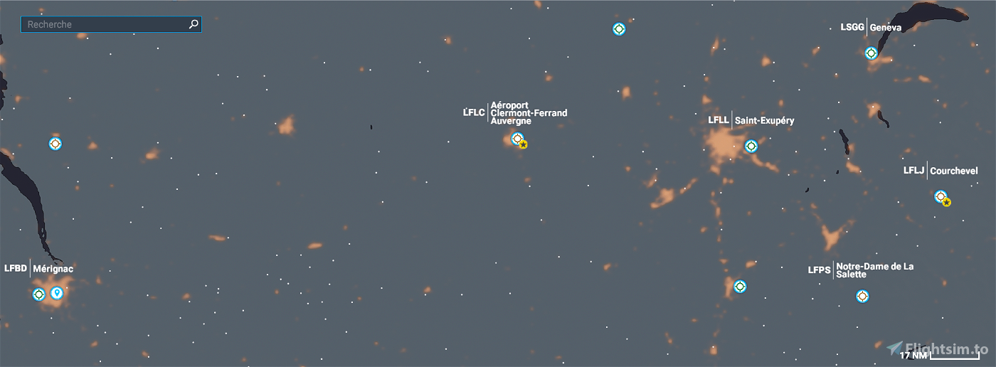
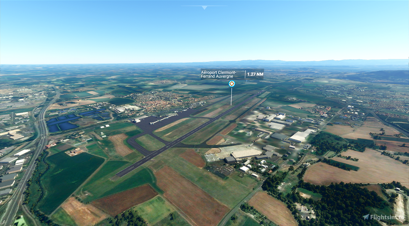
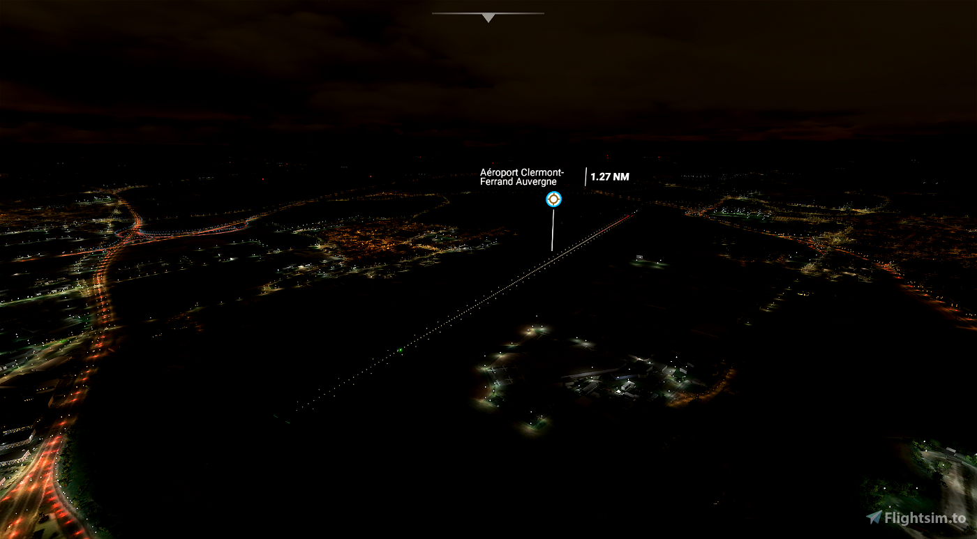
You know the aerial photography on the south side is all pixelated on Bing Maps and Google Maps. I found a place where they have the high res satelite data
https://www.maptiler.com/maps/#hybrid//raster/15.95/3.154578/45.784491
" target="_blank" class="text-secondary">https://www.maptiler.com/maps/#hybrid//raster/15.95/3.154578/45.784491">https://www.maptiler.com/maps/#hybrid//raster/15.95/3.154578/45.784491I've also got a cut out version in high res PDF if you want it to add to your scenery.
Answers

Thank you for having made me by your comment I intend to do so in the next updates
Good evening to you.PotDeMiel
4 years ago
PotDeMiel
Great! I was going to try and replace LFLC myself but I saw you did most of the work already so I figured if you hadn't got the cleaner aerial imagery then it's better for me to point you in the right direction 😊
Here's the video I did on how to start fixing the airport so you can see the new aerial imagery in place
https://www.youtube.com/watch?v=BN49Hxfl4gg
4 years ago
FlyingTheston