Regional Airports
Download free Regional Airports Sceneries for Microsoft Flight Simulator. 使用 Flightsim.to's Scenery Enhancements for Microsoft Flight Simulator 增强您的虚拟飞行世界。潜入一个由专业社区精心打造的令人惊叹的景观和详细环境领域。通过这些身临其境的下载,提升您的飞行体验。

Long Xuyen Airfield - Vietnam
Long Xuyen Airfield was an ARVN airstrip NW of Can Tho. It was home to MACV Adv Team 53 in...


ZSDZ Airport 苏州太仓电站村机场
This is an unknown airport, it can only take off and land small general aviation planes, in reality only two...


SBSP - Congonhas Airport (Enhancement)
Congonhas AirportIATA: CGH / ICAO: SBSP This scenario aims to provide an update of Congonhas Airport, extremely deficient in the...


De Aar Military Airfield (FA0D)
De Aar Military Airfield (FA0D) De Aar, the third largest town in the Northern Cape, is centrally located on the...


Rahadi Oesman Airport (WIOK) - Ketapang, West Kalimantan
Rahadi Usman Airport or Rahadi Oesman Airport (IATA: KTG, ICAO: WIOK) also known as Ketapang Airport is an airport located...


Q89 Macgilivary (Halter Ranch Airport 89CA)
Renamed Halter Ranch Airport 89CA In the Sim it is Macgilivray Q89, because of this I have left this name...

Cold And Dark Starts For YWLX Wallacia Australia
Cold and dark GA starts for the YWLX Wallacia grass strip airport. Suggest taking the Cabri G2 Helicopter west (hdg...

Kidal Military Base
Add Military Base To KIDAL during BARKHANE OPERATION- Heliport and Airfield. Need to download to enjoy the scene : -...

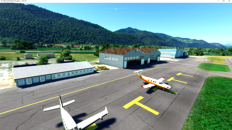
LFLG Aérodrôme Le Versoud
The Aerodrome of Grenoble-Le Versoud (LFLG) is located in the town of Versoud, 15 km north-east of Grenoble in France....

KJZP - Pickens County Airport
Pickens County Airport (ICAO: KJZP, FAA LID: JZP) is a county-owned, public-use airport in Pickens County, Georgia, United States. It...


SJRG - Rio Grande Airport
Rio Grande Airport - municipally called Gustavo Cramer Airport - (IATA: RIG, ICAO: SJRG) is located in the municipality of...

Wapenamanda AYWD Version 2
Wapenamanda AYWD Version 2 Serves the capital of Enga province. The town is at an altitude of 6,000' NOTE: This...


Umbu Mehang Kunda Airport (WATU) - Waingapu, East Sumba
Umbu Mehang Kunda Airport (IATA: WGP, ICAO: WATU, formerly WRRW), also known as Mau Hau Airport, is an airport located...

EDDG Muenster Gras Runways
I added two uncontrolled gras runways for EDDG (north of the airport), which belong to the "Luftfahrtvereinigung". To avoid issues...


Moore-Murrel - KMOR (Morristown Regional Airport)
MOORE-MURRELL - KMOR (Morristown Regional Airport) covers an area of 160 acres (65 ha) at an elevation of 1,313 feet...
